
1943 Map of San Clemente Island Central
USGS Topo · Published 1966About this map
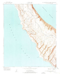
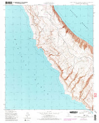
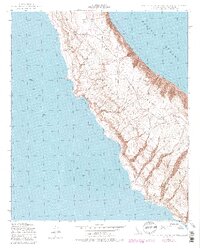
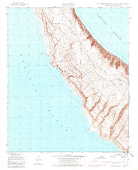
The Pacific Ocean coastline of San Clemente Island is charted here with precision by the Army Map Service during the height of the second World War. This central portion of the island is characterized by a high, undulating interior plateau that drops sharply into the sea through a series of complex canyons and coastal points. Significant coastal landmarks include the wide inlet at Seal Cove and distinct landforms such as Black Point and Lost Point.
Find a feature on this map
29 named features on this map. Tap any name to fly to it.
Don’t see what you’re looking for? This feature index may not catch every label — zoom into the map to look around manually.
Map Details
Editions of this 1943 San Clemente Island Central Map
5 editions found
Other maps of this area
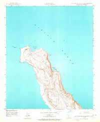
1943 · San Clemente Island North
USGS Topo · 1:24,000
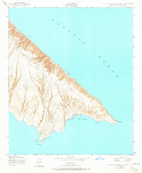
1943 · San Clemente Island South
USGS Topo · 1:24,000
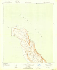
1950 · San Clemente Island North
USGS Topo · 1:24,000

1950 · San Clemente Island Central
USGS Topo · 1:24,000
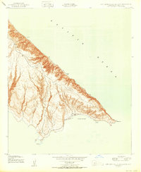
1950 · San Clemente Island South
USGS Topo · 1:24,000

1957 · San Clemente Island
USGS Topo · 1:250,000

1980 · San Clemente Island
USGS Topo · 1:100,000
2012 · San Clemente Island Central OE S
USGS Topo · 1:24,000
2012 · San Clemente Island Central OE E
USGS Topo · 1:24,000
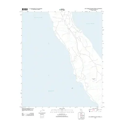
2012 · San Clemente Island Central
USGS Topo · 1:24,000