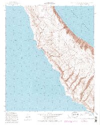
1943 Map of San Clemente Island Central
USGS Topo · Published 1980About this map
San Clemente Island appears here as a rugged landscape defined by maritime defense and isolation. Originally mapped by the Army Map Service during the height of the Second World War, the sheet highlights the specialized infrastructure of the Naval Ocean Systems Center Facility. This military presence is anchored by a Landing Strip situated atop the high coastal plateaus, overlooking the steep descents toward the shoreline. The island's perimeter is marked by distinct topographical landmarks such as Eel Point and Black Point to the north, while the southern reaches lead toward the isolation of Lost Point. Between these headlands, Seal Cove provides a break in the sheer cliffs, illustrating the island's complex coastal geometry as it stood in the mid-20th century before late-Cold War revisions were recorded.
Find a feature on this map
8 named features on this map. Tap any name to fly to it.
Don’t see what you’re looking for? This feature index may not catch every label — zoom into the map to look around manually.
Map Details
Editions of this 1943 San Clemente Island Central Map
5 editions found
Other maps of this area
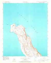
1943 · San Clemente Island North
USGS Topo · 1:24,000
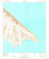
1943 · San Clemente Island South
USGS Topo · 1:24,000

1943 · San Clemente Island Central
USGS Topo · 1:24,000
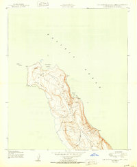
1950 · San Clemente Island North
USGS Topo · 1:24,000

1950 · San Clemente Island Central
USGS Topo · 1:24,000
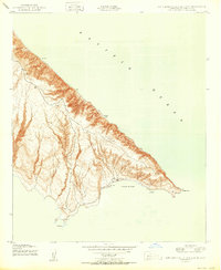
1950 · San Clemente Island South
USGS Topo · 1:24,000

1957 · San Clemente Island
USGS Topo · 1:250,000

1980 · San Clemente Island
USGS Topo · 1:100,000
2012 · San Clemente Island Central OE S
USGS Topo · 1:24,000
2012 · San Clemente Island Central OE E
USGS Topo · 1:24,000