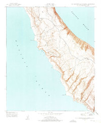
1943 Map of San Clemente Island Central
USGS Topo · Published 1975About this map
Seal Cove and the jagged western coastline of San Clemente Island dominate this wartime topographic study. Compiled from aerial photographs taken in 1943, the map reveals a landscape defined by dramatic elevation changes and a series of prominent coastal features including Eel Point and Mail Point. The interior is marked by a network of unimproved roads and trails that traverse the steep terrain, reaching landmarks such as Tomb and the heights above Black Point 2. Unlike the more developed mainland, the island's central region appears largely dedicated to military or navigational purposes during the mid-twentieth century, with specialized survey points such as Lost Point and the Bluff anchoring the rugged shoreline.
Find a feature on this map
8 named features on this map. Tap any name to fly to it.
Don’t see what you’re looking for? This feature index may not catch every label — zoom into the map to look around manually.
Map Details
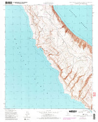
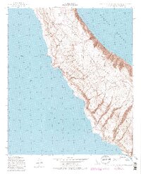
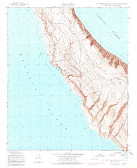
Editions of this 1943 San Clemente Island Central Map
5 editions found
Other maps of this area
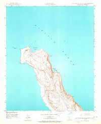
1943 · San Clemente Island North
USGS Topo · 1:24,000
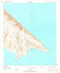
1943 · San Clemente Island South
USGS Topo · 1:24,000

1943 · San Clemente Island Central
USGS Topo · 1:24,000
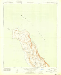
1950 · San Clemente Island North
USGS Topo · 1:24,000

1950 · San Clemente Island Central
USGS Topo · 1:24,000
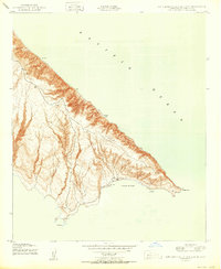
1950 · San Clemente Island South
USGS Topo · 1:24,000

1957 · San Clemente Island
USGS Topo · 1:250,000

1980 · San Clemente Island
USGS Topo · 1:100,000
2012 · San Clemente Island Central OE S
USGS Topo · 1:24,000
2012 · San Clemente Island Central OE E
USGS Topo · 1:24,000