
1950 Map of San Clemente Island Central
USGS Topo · Published 1950About this map
Seal Cove marks the primary indentation along this central stretch of San Clemente Island, where the Pacific Ocean meets a landscape defined by sharp elevation changes and coastal promontories. Based on aerial photography and field checks performed during the war years, this survey illustrates a network of primitive roads and trails that traverse the high ridges, connecting points such as Black Point in the north to the southern reaches near Lost Point. The terrain is punctuated by significant landmarks including Arizona, Peak, and Boulder, with the coastal periphery defined by notable features like Eel Point and Mail Point. This 1950 edition captures the island's mid-century topography and basic infrastructure, showing a series of benchmarks and triangulation stations used by the Army Map Service to document this strategic offshore environment.
Find a feature on this map
29 named features on this map. Tap any name to fly to it.
Don’t see what you’re looking for? This feature index may not catch every label — zoom into the map to look around manually.
Map Details
Editions of this 1950 San Clemente Island Central Map
This is the sole edition of this map. No revisions or reprints were ever made.
Other maps of this area
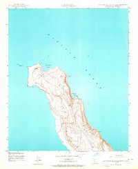
1943 · San Clemente Island North
USGS Topo · 1:24,000
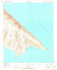
1943 · San Clemente Island South
USGS Topo · 1:24,000

1943 · San Clemente Island Central
USGS Topo · 1:24,000
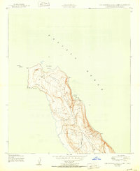
1950 · San Clemente Island North
USGS Topo · 1:24,000
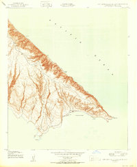
1950 · San Clemente Island South
USGS Topo · 1:24,000

1957 · San Clemente Island
USGS Topo · 1:250,000

1980 · San Clemente Island
USGS Topo · 1:100,000
2012 · San Clemente Island Central OE S
USGS Topo · 1:24,000
2012 · San Clemente Island Central OE E
USGS Topo · 1:24,000
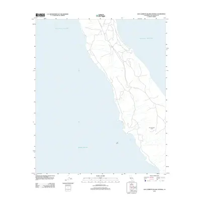
2012 · San Clemente Island Central
USGS Topo · 1:24,000