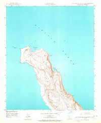
1943 Map of San Clemente Island North
USGS Topo · Published 1964About this map
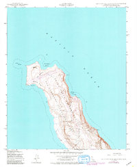
North Head Lighthouse stands at the northern tip of San Clemente Island, marking a critical point for maritime navigation within the Pacific Ocean during the early 1940s. This survey, conducted by the Army Corps of Engineers and the Geological Survey, details the island's narrowest point at The Isthmus, where the land constricts between Northwest Harbor and West Cove. The landscape is defined by dynamic coastal features like the Shifting Sands and isolated maritime landmarks, including a Lighthouse overlooking Wilson Cove. Small infrastructural details such as Well 2 and various bench marks indicate the strategic and technical mapping of the island's interior elevations. The presence of Castle Rock and West Rock further highlights the navigational hazards and geological character of this offshore California terrain.
Find a feature on this map
11 named features on this map. Tap any name to fly to it.
Don’t see what you’re looking for? This feature index may not catch every label — zoom into the map to look around manually.
Map Details
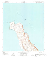
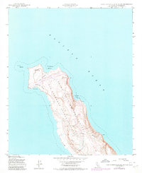
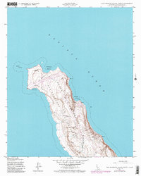
Editions of this 1943 San Clemente Island North Map
5 editions found
Other maps of this area

1943 · San Clemente Island Central
USGS Topo · 1:24,000

1949 · Long Beach
USGS Topo · 1:250,000
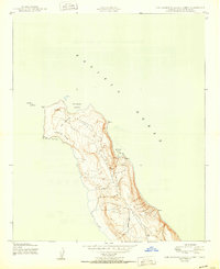
1950 · San Clemente Island North
USGS Topo · 1:24,000

1950 · San Clemente Island Central
USGS Topo · 1:24,000

1957 · Long Beach
USGS Topo · 1:250,000

1957 · San Clemente Island
USGS Topo · 1:250,000

1958 · Long Beach
USGS Topo · 1:250,000

1960 · Long Beach
USGS Topo · 1:250,000

1980 · San Clemente Island
USGS Topo · 1:100,000
1981 · Santa Catalina Island
USGS Topo · 1:100,000