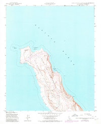
1943 Map of San Clemente Island North
USGS Topo · Published 1980About this map
San Clemente Island serves as a critical Pacific outpost for military and maritime operations in this 1943 survey, updated for the modern era. The northern end of the island is dominated by the Naval Ocean Systems Center and a prominent Landing Field situated across The Isthmus. This narrow neck of land is characterized by Shifting Sands, which separate the sheltered waters of Northwest Harbor from the exposed West Cove.
Find a feature on this map
14 named features on this map. Tap any name to fly to it.
Don’t see what you’re looking for? This feature index may not catch every label — zoom into the map to look around manually.
Map Details
Editions of this 1943 San Clemente Island North Map
5 editions found
Other maps of this area
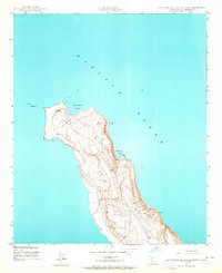
1943 · San Clemente Island North
USGS Topo · 1:24,000

1943 · San Clemente Island Central
USGS Topo · 1:24,000

1949 · Long Beach
USGS Topo · 1:250,000
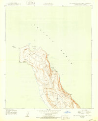
1950 · San Clemente Island North
USGS Topo · 1:24,000

1950 · San Clemente Island Central
USGS Topo · 1:24,000

1957 · Long Beach
USGS Topo · 1:250,000

1957 · San Clemente Island
USGS Topo · 1:250,000

1958 · Long Beach
USGS Topo · 1:250,000

1960 · Long Beach
USGS Topo · 1:250,000

1980 · San Clemente Island
USGS Topo · 1:100,000