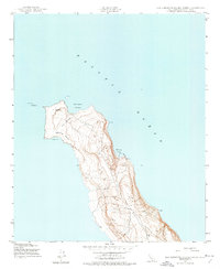
1943 Map of San Clemente Island North
USGS Topo · Published 1974About this map
Northwest Harbor and Wilson Cove define the northern maritime character of San Clemente Island during the mid-war period. This survey, mapped by the Army Map Service from 1943 aerial photography, details the windswept and unpopulated northern reaches of the island. The topography is dominated by the narrowing at The Isthmus, where the land constricts before opening into the high ground of the island's interior. Notable navigation aids include the North Head Lighthouse and several other lighthouse stations along the eastern cliffs near Wilson Cove. The presence of Shifting Sands near the western shoreline at West Cove illustrates the dynamic coastal environment of this naval-administered territory. Numerous benchmark elevations, such as BM 750 and BM 820, provide precise vertical data for the island's rising ridgelines.
Find a feature on this map
19 named features on this map. Tap any name to fly to it.
Don’t see what you’re looking for? This feature index may not catch every label — zoom into the map to look around manually.
Map Details
Editions of this 1943 San Clemente Island North Map
5 editions found
Other maps of this area
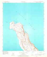
1943 · San Clemente Island North
USGS Topo · 1:24,000

1943 · San Clemente Island Central
USGS Topo · 1:24,000

1949 · Long Beach
USGS Topo · 1:250,000
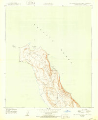
1950 · San Clemente Island North
USGS Topo · 1:24,000

1950 · San Clemente Island Central
USGS Topo · 1:24,000

1957 · Long Beach
USGS Topo · 1:250,000

1957 · San Clemente Island
USGS Topo · 1:250,000

1958 · Long Beach
USGS Topo · 1:250,000

1960 · Long Beach
USGS Topo · 1:250,000

1980 · San Clemente Island
USGS Topo · 1:100,000