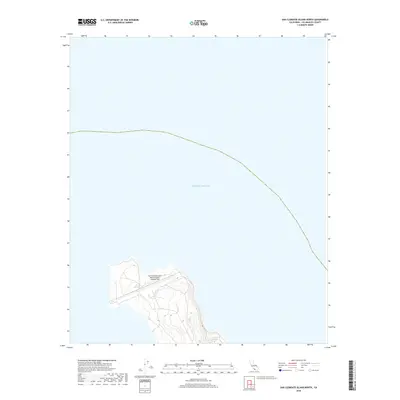
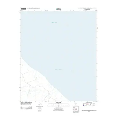
2018 Map of San Clemente Island North
USGS Topo · Published 2018About this map
San Clemente Island Naval Auxiliary Landing Field occupies the northern narrowing of this strategic island territory, highlighting the modern military presence in the Channel Islands. The terrain is defined by The Isthmus, a slender land bridge that separates the northern coastal waters and marks a distinct topographic shift on the island. Surrounding the landmass, the Pacific Ocean dominates the landscape, illustrating the isolation of this naval outpost. This 2018 survey serves as a precise record of the shoreline and military infrastructure established on this restricted island off the California coast, where the naval auxiliary field serves as a critical point of maritime and aerial operations.
Find a feature on this map
3 named features on this map. Tap any name to fly to it.
Don’t see what you’re looking for? This feature index may not catch every label — zoom into the map to look around manually.
Map Details
Editions of this 2018 San Clemente Island North Map
This is the sole edition of this map. No revisions or reprints were ever made.
Other maps of this area
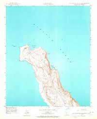
1943 · San Clemente Island North
USGS Topo · 1:24,000

1949 · Long Beach
USGS Topo · 1:250,000
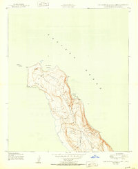
1950 · San Clemente Island North
USGS Topo · 1:24,000

1957 · Long Beach
USGS Topo · 1:250,000

1957 · San Clemente Island
USGS Topo · 1:250,000

1958 · Long Beach
USGS Topo · 1:250,000

1960 · Long Beach
USGS Topo · 1:250,000

1980 · San Clemente Island
USGS Topo · 1:100,000
1981 · Santa Catalina Island
USGS Topo · 1:100,000
2012 · San Clemente Island Central OE E
USGS Topo · 1:24,000