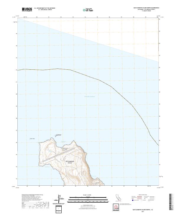
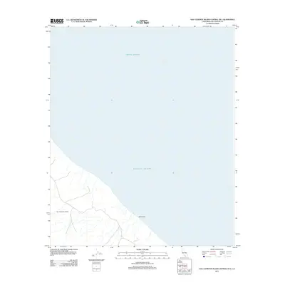
2021 Map of San Clemente Island North
USGS Topo · Published 2021About this map
San Clemente Island Naval Auxiliary Landing Field occupies the northern reach of this isolated landmass, where an active runway spans the narrow plateau between the harbor and the sea. The northern tip of the island is defined by a slender bottleneck known as the Isthmus, a geographical pinch point that separates the northernmost heights from the primary landmass. To the northwest, the prominent maritime landmark of Castle Rock stands offshore, marking the approach to Northwest Harbor.
Find a feature on this map
7 named features on this map. Tap any name to fly to it.
Don’t see what you’re looking for? This feature index may not catch every label — zoom into the map to look around manually.
Map Details
Editions of this 2021 San Clemente Island North Map
This is the sole edition of this map. No revisions or reprints were ever made.
Other maps of this area
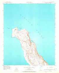
1943 · San Clemente Island North
USGS Topo · 1:24,000

1949 · Long Beach
USGS Topo · 1:250,000
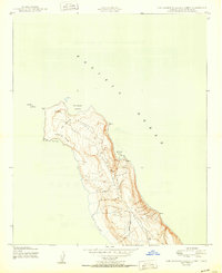
1950 · San Clemente Island North
USGS Topo · 1:24,000

1957 · Long Beach
USGS Topo · 1:250,000

1957 · San Clemente Island
USGS Topo · 1:250,000

1958 · Long Beach
USGS Topo · 1:250,000

1960 · Long Beach
USGS Topo · 1:250,000

1980 · San Clemente Island
USGS Topo · 1:100,000
1981 · Santa Catalina Island
USGS Topo · 1:100,000
2012 · San Clemente Island Central OE E
USGS Topo · 1:24,000