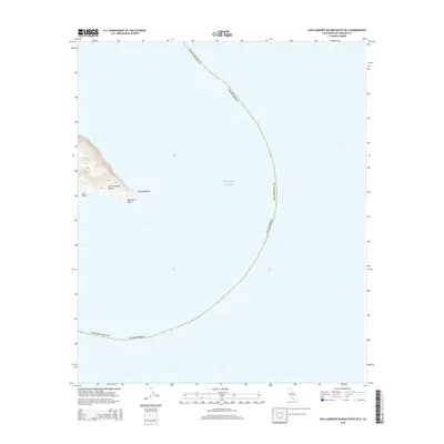
2015 Map of San Clemente Island South OE E
USGS Topo · Published 2015About this map
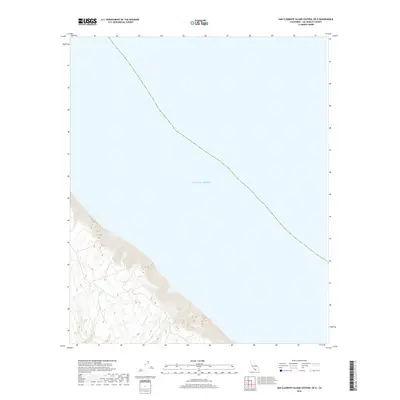
San Clemente Island projects into the Pacific Ocean at its southernmost tip, dominated by the prominent coastal markers of Pyramid Head and Sun Point. This 2015 topographic record of the Los Angeles County territory shows the island's elevation rising steeply from the water's edge, with the rocky protrusion of Balanced Rock situated just offshore near the southern terminus. The map provides a focused view of the island's coastal shelf and the surrounding maritime boundary within the Southern California Bight, highlighting the geographic isolation and stark terrain of this offshore landmass. While much of the quadrangle is defined by open water, the precise mapping of the southern headlands illustrates the critical navigational landmarks that define the edge of the island.
Find a feature on this map
6 named features on this map. Tap any name to fly to it.
Don’t see what you’re looking for? This feature index may not catch every label — zoom into the map to look around manually.
Map Details
Editions of this 2015 San Clemente Island South OE E Map
This is the sole edition of this map. No revisions or reprints were ever made.
Other maps of this area
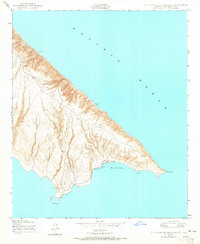
1943 · San Clemente Island South
USGS Topo · 1:24,000
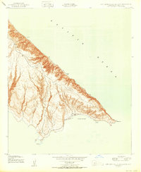
1950 · San Clemente Island South
USGS Topo · 1:24,000

1957 · San Clemente Island
USGS Topo · 1:250,000

1980 · San Clemente Island
USGS Topo · 1:100,000
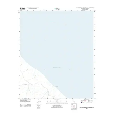
2012 · San Clemente Island Central OE E
USGS Topo · 1:24,000
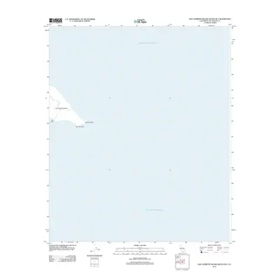
2012 · San Clemente Island South OE E
USGS Topo · 1:24,000
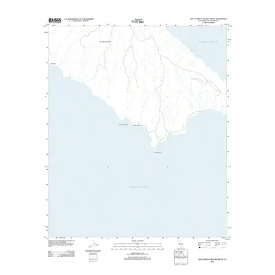
2012 · San Clemente Island South
USGS Topo · 1:24,000
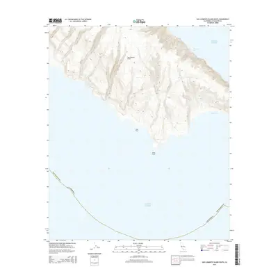
2015 · San Clemente Island South
USGS Topo · 1:24,000
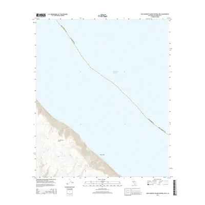
2015 · San Clemente Island Central OE E
USGS Topo · 1:24,000
2018 · San Clemente Island Central OE E
USGS Topo · 1:24,000