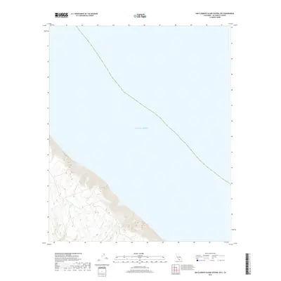
2018 Map of San Clemente Island Central OE E
USGS Topo · Published 2018About this map
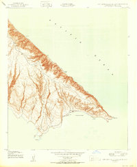
The steep coastal escarpments of San Clemente Island drop directly into the Pacific Ocean in this 2018 topographic study. The map focuses on the eastern shoreline of the central portion of the island, where high ridges and deep drainages characterize the terrain before it meets the sea. This specific quadrangle captures the dramatic transition from the island's interior elevations down to the water line, showing a landscape defined by sharp contour intervals and a complete absence of developed infrastructure or named inland settlements. It provides a technical record of the island's natural coastal geography as managed by the U.S. Geological Survey in coordination with the Department of the Interior.
Find a feature on this map
1 named feature on this map. Tap any name to fly to it.
Don’t see what you’re looking for? This feature index may not catch every label — zoom into the map to look around manually.
Map Details
Editions of this 2018 San Clemente Island Central OE E Map
This is the sole edition of this map. No revisions or reprints were ever made.
Other maps of this area
1943 · San Clemente Island North
USGS Topo · 1:24,000
1943 · San Clemente Island South
USGS Topo · 1:24,000

1943 · San Clemente Island Central
USGS Topo · 1:24,000

1949 · Long Beach
USGS Topo · 1:250,000
1950 · San Clemente Island North
USGS Topo · 1:24,000

1950 · San Clemente Island Central
USGS Topo · 1:24,000
1950 · San Clemente Island South
USGS Topo · 1:24,000

1957 · Long Beach
USGS Topo · 1:250,000

1957 · San Clemente Island
USGS Topo · 1:250,000

1958 · Long Beach
USGS Topo · 1:250,000