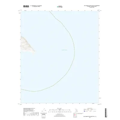
2018 Map of San Clemente Island South OE E
USGS Topo · Published 2018About this map
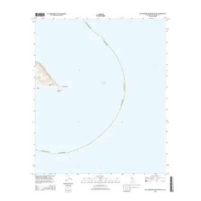
The vast expanse of the Pacific Ocean dominates this maritime survey off the coast of Los Angeles County. Representing the maritime borders and deep-water bathymetry south of San Clemente Island, the sheet captures the remote aquatic environment and the sharp topographic descent of the island's southern tip. This 2018 edition provides a precise look at the shoreline contours as they stood in the early 21st century, serving as a critical reference for navigating the deep waters and understanding the coastal boundaries of California's southernmost Channel Islands.
Find a feature on this map
1 named feature on this map. Tap any name to fly to it.
Don’t see what you’re looking for? This feature index may not catch every label — zoom into the map to look around manually.
Map Details
Editions of this 2018 San Clemente Island South OE E Map
This is the sole edition of this map. No revisions or reprints were ever made.
Other maps of this area
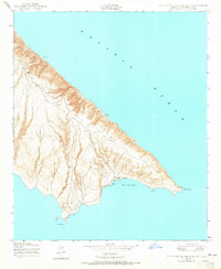
1943 · San Clemente Island South
USGS Topo · 1:24,000
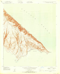
1950 · San Clemente Island South
USGS Topo · 1:24,000

1957 · San Clemente Island
USGS Topo · 1:250,000

1980 · San Clemente Island
USGS Topo · 1:100,000
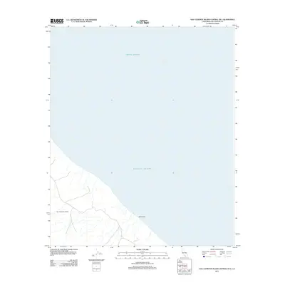
2012 · San Clemente Island Central OE E
USGS Topo · 1:24,000
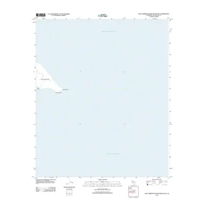
2012 · San Clemente Island South OE E
USGS Topo · 1:24,000
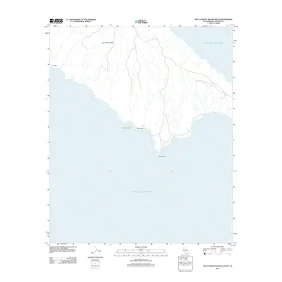
2012 · San Clemente Island South
USGS Topo · 1:24,000
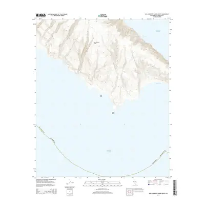
2015 · San Clemente Island South
USGS Topo · 1:24,000
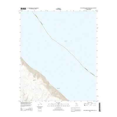
2015 · San Clemente Island Central OE E
USGS Topo · 1:24,000
2015 · San Clemente Island South OE E
USGS Topo · 1:24,000