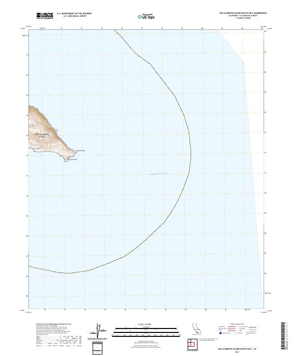
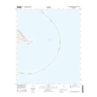
2021 Map of San Clemente Island South OE E
USGS Topo · Published 2021About this map
The rocky southeastern extremity of San Clemente Island marks the edge of this maritime survey, where the land meets the vast Pacific Ocean. This coastal corner is defined by distinctive geologic formations, including the prominent projection of Pyramid Head and the nearby coastal landmark at Sun Point. The terrain here rises sharply from the sea, showing steep contours that lead toward the island's interior elevations.
Find a feature on this map
4 named features on this map. Tap any name to fly to it.
Don’t see what you’re looking for? This feature index may not catch every label — zoom into the map to look around manually.
Map Details
Editions of this 2021 San Clemente Island South OE E Map
This is the sole edition of this map. No revisions or reprints were ever made.
Other maps of this area
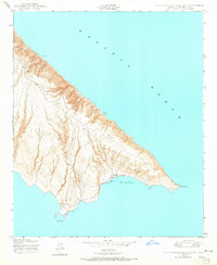
1943 · San Clemente Island South
USGS Topo · 1:24,000
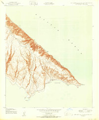
1950 · San Clemente Island South
USGS Topo · 1:24,000

1957 · San Clemente Island
USGS Topo · 1:250,000

1980 · San Clemente Island
USGS Topo · 1:100,000
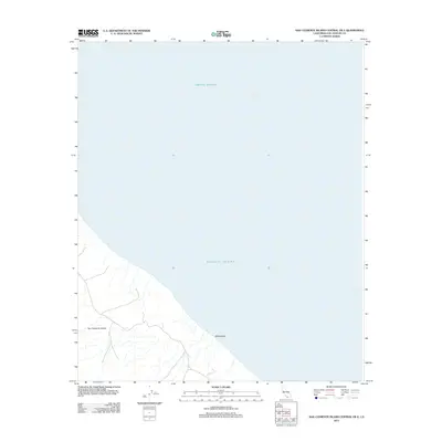
2012 · San Clemente Island Central OE E
USGS Topo · 1:24,000
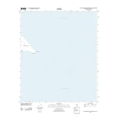
2012 · San Clemente Island South OE E
USGS Topo · 1:24,000
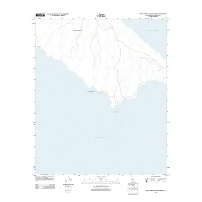
2012 · San Clemente Island South
USGS Topo · 1:24,000
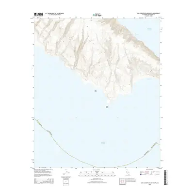
2015 · San Clemente Island South
USGS Topo · 1:24,000
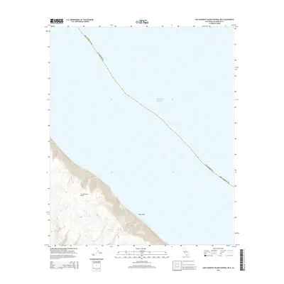
2015 · San Clemente Island Central OE E
USGS Topo · 1:24,000
2015 · San Clemente Island South OE E
USGS Topo · 1:24,000