
1963 Map of San Diego
USGS Topo · Published 1964About this map
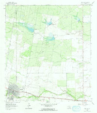
San Diego sits at the southwestern corner of this survey, serving as a primary hub where the Texas Mexican railroad tracks parallel the winding course of San Diego Creek. The landscape transitions from the concentrated town grid into an expanse of ranch land and brush country, defined by a sophisticated water management system. A series of earthen works, including Chiltipin-San Fernando Dam No 6 and Chiltipin-San Fernando Dam No 8, illustrate the mid-century efforts to capture runoff across the dry draws of Muerto Creek and the Resaca de Enmedio.
Find a feature on this map
13 named features on this map. Tap any name to fly to it.
Don’t see what you’re looking for? This feature index may not catch every label — zoom into the map to look around manually.
Map Details
Editions of this 1963 San Diego Map
2 editions found
Other maps of this area

1917 · Ben Bolt
USGS Topo · 1:62,500

1920 · San Diego
USGS Topo · 1:62,500

1956 · Benavides
USGS Topo · 1:62,500

1956 · Rosita Ranch
USGS Topo · 1:62,500

1956 · Laredo
USGS Topo · 1:250,000

1963 · San Diego NE
USGS Topo · 1:24,000
1963 · Shaeffer Ranch
USGS Topo · 1:24,000
1963 · Alice North
USGS Topo · 1:24,000

1963 · Ben Bolt NW
USGS Topo · 1:24,000
1963 · Alice South
USGS Topo · 1:24,000