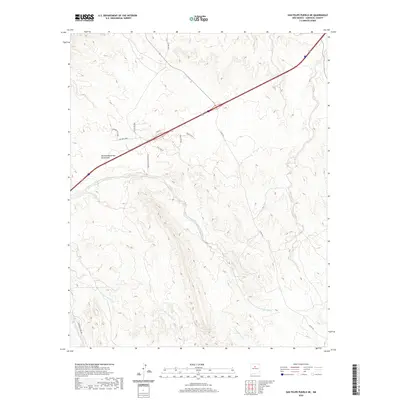
2020 Map of San Felipe Pueblo NE
USGS Topo · Published 2020About this map
The Mormon Battalion Monument stands as a prominent historical marker in this high-desert landscape of Sandoval County, commemorating the mid-19th-century military march through the Southwest. The terrain is defined by an intricate network of ephemeral watercourses, most notably the Arroyo de la Vega de los Tanos and Arroyo del Tuerto, which drain the arid highlands. These natural features are interspersed with a modern grid of rural access roads and legacy routes like Old Hwy 22.
Find a feature on this map
22 named features on this map. Tap any name to fly to it.
Don’t see what you’re looking for? This feature index may not catch every label — zoom into the map to look around manually.
Map Details
Editions of this 2020 San Felipe Pueblo NE Map
This is the sole edition of this map. No revisions or reprints were ever made.
Other maps of this area

1892 · San Pedro
USGS Topo · 1:125,000

1892 · Santa Clara
USGS Topo · 1:125,000

1953 · Santo Domingo Pueblo
USGS Topo · 1:24,000

1953 · Tetilla Peak
USGS Topo · 1:24,000

1953 · Santo Domingo Pueblo SW
USGS Topo · 1:24,000

1953 · Agua Fria
USGS Topo · 1:62,500

1953 · Santo Domingo Pueblo
USGS Topo · 1:62,500

1954 · San Felipe Pueblo
USGS Topo · 1:24,000

1954 · Placitas
USGS Topo · 1:24,000

1954 · San Felipe Pueblo NE
USGS Topo · 1:24,000