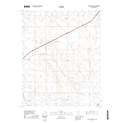
2023 Map of San Felipe Pueblo NE
USGS Topo · Published 2023About this map
Arroyo de la Vega de los Tanos and Arroyo del Tuerto snake through this high-desert landscape in Sandoval County, illustrating the complex drainage patterns of the Rio Grande basin. The modern transportation corridor of I-25 cuts diagonally across the northern portion, flanked by residential footprints like Rose St and Arroyito Rd. These newer developments contrast with established routes such as Old Hwy 22 and the Indian Svc Rte 844, which hint at the region's enduring transit history. Family-named roads like Cam Refugio Leyba, Cam De Dolores, and Cam Don Pablo provide essential genealogical clues, marking the local land use and community heritage in the San Felipe Pueblo vicinity. The survey also tracks several ephemeral watercourses, including Arroyo Tonque and Arroyo Largo, which remain central to the topography of the northern Rio Grande valley.
Find a feature on this map
23 named features on this map. Tap any name to fly to it.
Don’t see what you’re looking for? This feature index may not catch every label — zoom into the map to look around manually.
Map Details
Editions of this 2023 San Felipe Pueblo NE Map
This is the sole edition of this map. No revisions or reprints were ever made.
Other maps of this area

1892 · San Pedro
USGS Topo · 1:125,000

1892 · Santa Clara
USGS Topo · 1:125,000

1953 · Santo Domingo Pueblo
USGS Topo · 1:24,000

1953 · Tetilla Peak
USGS Topo · 1:24,000

1953 · Santo Domingo Pueblo SW
USGS Topo · 1:24,000

1953 · Agua Fria
USGS Topo · 1:62,500

1953 · Santo Domingo Pueblo
USGS Topo · 1:62,500

1954 · San Felipe Pueblo
USGS Topo · 1:24,000

1954 · Placitas
USGS Topo · 1:24,000

1954 · San Felipe Pueblo NE
USGS Topo · 1:24,000