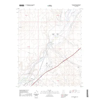
2023 Map of San Felipe Pueblo
USGS Topo · Published 2023About this map
The Rio Grande corridor in Sandoval County defines this landscape, where the historic El Camino Real traces a path through the valley. This modern survey illustrates the complex irrigation network vital to the region, including the San Felipe East Side Ditch, Santa Ana Ditch, and Algodones-Riverside-Drain. These water systems support the established settlements of San Felipe Pueblo and Algodones, positioned between the river and the rising elevation of Santa Ana Mesa.
Find a feature on this map
48 named features on this map. Tap any name to fly to it.
Don’t see what you’re looking for? This feature index may not catch every label — zoom into the map to look around manually.
Map Details
Editions of this 2023 San Felipe Pueblo Map
This is the sole edition of this map. No revisions or reprints were ever made.
Other maps of this area

1888 · Bernalillo
USGS Topo · 1:125,000

1889 · Albuquerque
USGS Topo · 1:125,000

1890 · Jemes
USGS Topo · 1:125,000

1892 · San Pedro
USGS Topo · 1:125,000

1892 · Jemes
USGS Topo · 1:125,000

1892 · Santa Clara
USGS Topo · 1:125,000

1893 · Albuquerque
USGS Topo · 1:125,000

1943 · Jemez
USGS Topo · 1:62,500

1952 · Jemez
USGS Topo · 1:62,500

1953 · Santo Domingo Pueblo
USGS Topo · 1:24,000