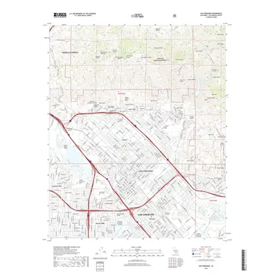
2018 Map of San Fernando
USGS Topo · Published 2018About this map
San Fernando and the surrounding northern reaches of Los Angeles are showcased in this 2018 survey, capturing the dense residential and industrial grid against the backdrop of the San Gabriel Mountains. This era is defined by complex water management and transportation infrastructure, featuring the Pacoima Spreading Grounds and the Hansen Spreading Grounds designed to manage runoff from the steep northern canyons. Notable landmarks include the historic San Fernando Mission Cem and the Whiteman Airport, which serve as anchors for the Mission Hills and Pacoima neighborhoods. The map details the transition from urban sprawl to protected wilderness within the Angeles National Forest, where features like Kagel Mtn and Bear Divide overlook the San Fernando Valley, providing a clear picture of the modern interface between metropolitan development and the natural drainage systems of the Pacoima Wash.
Find a feature on this map
313 named features on this map. Tap any name to fly to it.
Don’t see what you’re looking for? This feature index may not catch every label — zoom into the map to look around manually.
Map Details
Editions of this 2018 San Fernando Map
This is the sole edition of this map. No revisions or reprints were ever made.
Other maps of this area

1894 · Los Angeles
USGS Topo · 1:62,500

1896 · Santa Monica
USGS Topo · 1:62,500

1898 · Santa Monica
USGS Topo · 1:62,500

1900 · Los Angeles
USGS Topo · 1:62,500

1900 · Fernando
USGS Topo · 1:62,500

1901 · Southern California Sheet No. 1
USGS Topo · 1:250,000

1902 · Santa Monica
USGS Topo · 1:62,500

1903 · Calabasas
USGS Topo · 1:62,500

1903 · Camulos
USGS Topo · 1:125,000

1903 · Santa Susana
USGS Topo · 1:62,500