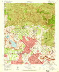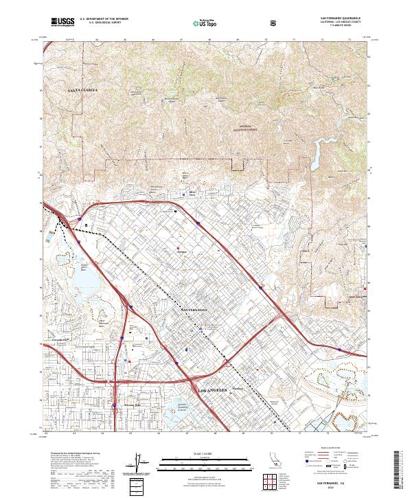
2022 Map of San Fernando
USGS Topo · Published 2022About this map
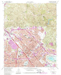
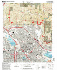
The northern San Fernando Valley meets the rising slopes of the San Gabriel Mountains in this recent survey, showcasing the dense suburban grid and critical water infrastructure of Los Angeles County. The city of San Fernando is centrally located, bordered by the communities of Sylmar, Pacoima, and Mission Hills. This area is characterized by major transportation corridors and public institutions, including the Los Angeles County San Fernando Courthouse and Los Angeles Mission College.
Find a feature on this map
314 named features on this map. Tap any name to fly to it.
Don’t see what you’re looking for? This feature index may not catch every label — zoom into the map to look around manually.
Map Details
Editions of this 2022 San Fernando Map
This is the sole edition of this map. No revisions or reprints were ever made.
Historical Maps of Sylmar Through Time
7 maps found