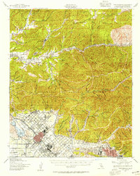
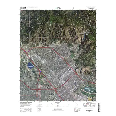
1940 Map of San Fernando
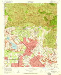
USGS Topo · Published 1955About this map
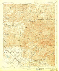
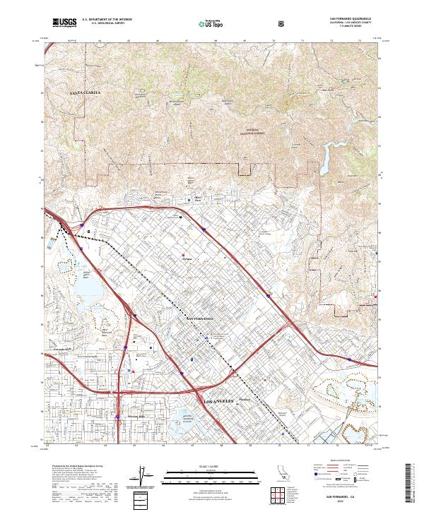
San Fernando Mission stands as a focal point of the northern San Fernando Valley during this era of military-revised mapping. The landscape is defined by the transition from the gridded urban growth of San Fernando and Sylmar into the deep canyons of the Angeles National Forest. Small railway stops and settlements like Honby, Thompson, and Solemint line the Southern Pacific tracks as they follow the Santa Clara River toward the northeast. To the south, the expansion of healthcare and public services is evident at Olive View and a nearby Sanatorium. Between the peaks of Magic Mtn and Mendenhall Peak, dozens of named drainages like Placerita Canyon and Bouquet Canyon carve through the foothills, illustrating the complex hydrology that feeds into the valley's developing infrastructure.
Find a feature on this map
71 named features on this map. Tap any name to fly to it.
Don’t see what you’re looking for? This feature index may not catch every label — zoom into the map to look around manually.
Map Details
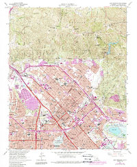
Editions of this 1940 San Fernando Map
2 editions found
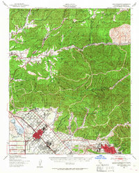
Historical Maps of Los Angeles Through Time
10 maps found
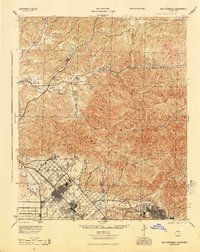
1900 San Fernando
Los Angeles County, CA
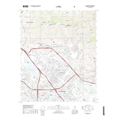
1940 San Fernando
Los Angeles County, CA
1945 San Fernando
Los Angeles County, CA
1953 San Fernando
Los Angeles County, CA
1966 San Fernando
Los Angeles County, CA
1995 San Fernando
Los Angeles County, CA
2012 San Fernando
Los Angeles County, CA
2015 San Fernando
Los Angeles County, CA
2018 San Fernando
Los Angeles County, CA
2022 San Fernando
Los Angeles County, CA