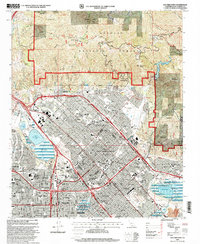
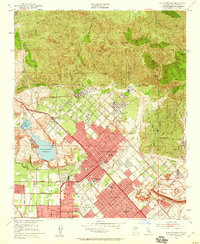
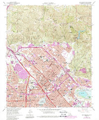
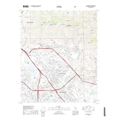
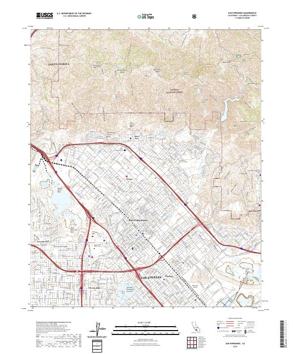
1995 Map of San Fernando
USGS Topo · Published 1999About this map
Angeles National Forest dominates the northern landscape of this mid-1990s survey, where the Santa Clara Divide meets the dense residential expansion of the northern San Fernando Valley. This edition documents a complex urban-wildland interface, showing the transition from canyons like Wilson Canyon and May Canyon into the established neighborhoods of Sylmar, Pacoima, and Mission Hills. The infrastructure of water management and transportation is prominent, featuring the Upper Van Norman Lake and the sprawl of the Hansen Dam Park at the edge of the Pacoima Wash.
Find a feature on this map
78 named features on this map. Tap any name to fly to it.
Don’t see what you’re looking for? This feature index may not catch every label — zoom into the map to look around manually.
Map Details
Editions of this 1995 San Fernando Map
This is the sole edition of this map. No revisions or reprints were ever made.
Historical Maps of Los Angeles Through Time
10 maps found
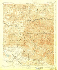
1900 San Fernando
Los Angeles County, CA
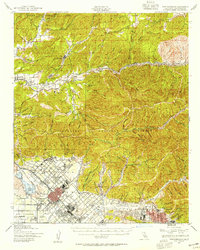
1940 San Fernando
Los Angeles County, CA
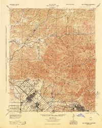
1945 San Fernando
Los Angeles County, CA
1953 San Fernando
Los Angeles County, CA
1966 San Fernando
Los Angeles County, CA
1995 San Fernando
Los Angeles County, CA
2012 San Fernando
Los Angeles County, CA
2015 San Fernando
Los Angeles County, CA
2018 San Fernando
Los Angeles County, CA
2022 San Fernando
Los Angeles County, CA