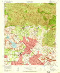
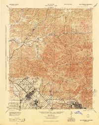
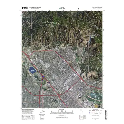
1953 Map of San Fernando
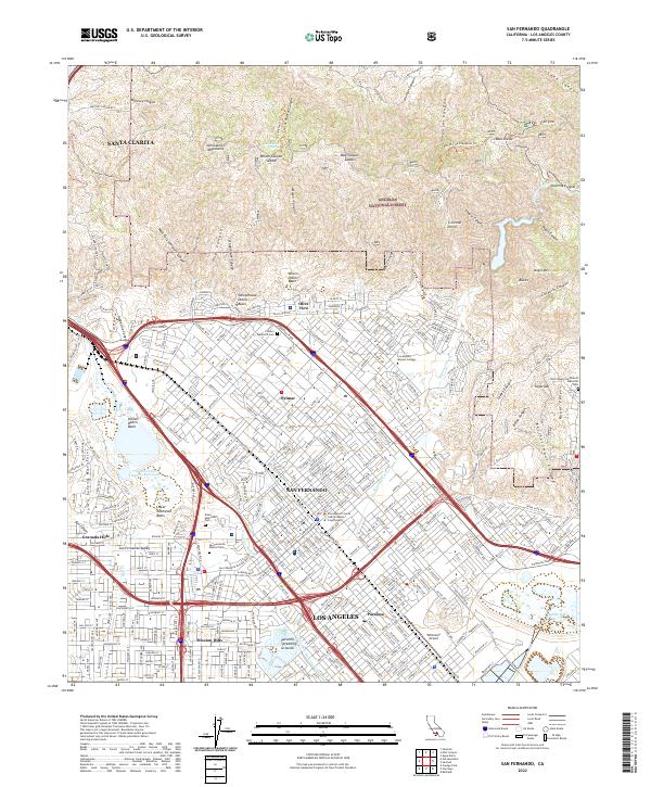
USGS Topo · Published 1959About this map
San Fernando sits at the base of the San Gabriel Mountains as a bustling center of the northern Pacoima Valley during the mid-century period. The map reveals a transition from the agricultural roots of the San Fernando Mission and its nearby San Fernando Mission Cem to a rapidly urbanizing landscape defined by major infrastructure. Significant water management features like the Upper San Fernando Reservoir and Hansen Dam dominate the lower terrain, designed to control the flow of the Pacoima Wash and Tujunga Wash. To the north, the steep canyons of the Angeles National Forest, including Wilson Canyon and Pacoima Canyon, provide a stark vertical backdrop to the gridded streets of Sylmar and the campus of the Olive View Sanatorium. The Southern Pacific railroad and major boulevards like Sepulveda Blvd anchor the valley's transportation network during this era of growth.
Find a feature on this map
57 named features on this map. Tap any name to fly to it.
Don’t see what you’re looking for? This feature index may not catch every label — zoom into the map to look around manually.
Map Details
Editions of this 1953 San Fernando Map
3 editions found

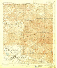
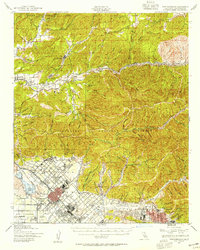
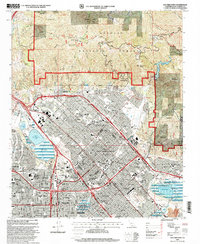
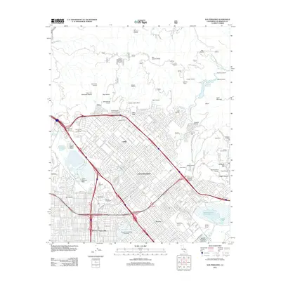
Historical Maps of Los Angeles Through Time
10 maps found
1900 San Fernando
Los Angeles County, CA
1940 San Fernando
Los Angeles County, CA
1945 San Fernando
Los Angeles County, CA
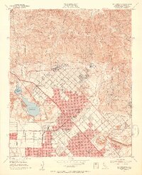
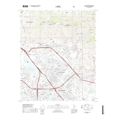
1953 San Fernando
Los Angeles County, CA
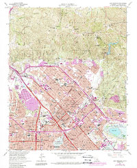
1966 San Fernando
Los Angeles County, CA
1995 San Fernando
Los Angeles County, CA
2012 San Fernando
Los Angeles County, CA
2015 San Fernando
Los Angeles County, CA
2018 San Fernando
Los Angeles County, CA
2022 San Fernando
Los Angeles County, CA