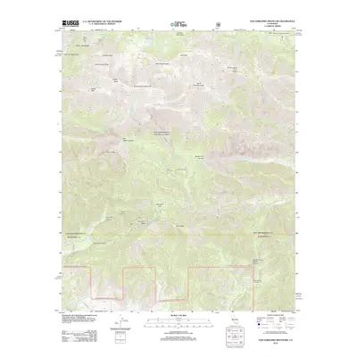
2012 Map of San Gorgonio Mountain
USGS Topo · Published 2012About this map
San Gorgonio Mountain stands as the central point of this high-altitude landscape, where numerous forks of the Whitewater River and the S Fork Santa Ana River originate. The 2012 survey illustrates the network of backcountry infrastructure including South Fork Cabin and East Fork Cabin, alongside high-country waypoints such as Gunsight Pass and Mine Shaft Saddle. The drainage patterns are intricate, with the E Fork Whitewater River dropping past Silverwood Falls and dramatic topographic breaks like Mill Creek Jumpoff and Middle Fork Jumpoff. Small alpine water bodies including Dollar Lake and Dry Lake are visible alongside specialized seasonal sites like Mission Springs Campground and Bear Wallows Campground. The presence of roads such as Raywood Flat Rd and Petrero Rd indicates the limited vehicular access into these protected mountain heights during the early 21st century.
Find a feature on this map
51 named features on this map. Tap any name to fly to it.
Don’t see what you’re looking for? This feature index may not catch every label — zoom into the map to look around manually.
Map Details
Editions of this 2012 San Gorgonio Mountain Map
This is the sole edition of this map. No revisions or reprints were ever made.
Other maps of this area

1901 · Southern California Sheet No. 1
USGS Topo · 1:250,000

1901 · San Jacinto
USGS Topo · 1:125,000

1902 · San Gorgonio
USGS Topo · 1:125,000

1904 · Southern California Sheet No. 1
USGS Topo · 1:250,000

1940 · Palm Springs
USGS Topo · 1:62,500

1942 · Banning
USGS Topo · 1:62,500

1943 · Banning
USGS Topo · 1:62,500

1944 · Palm Springs
USGS Topo · 1:62,500

1947 · Santa Ana
USGS Topo · 1:250,000

1949 · Santa Ana
USGS Topo · 1:250,000