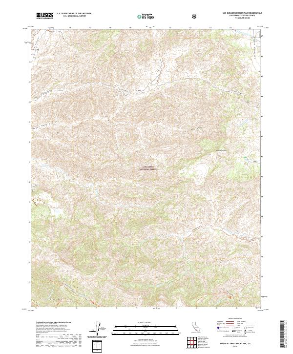
2021 Map of San Guillermo Mountain
USGS Topo · Published 2021About this map
Alamo Cr winds through the high-elevation terrain of this portion of the Los Padres National Forest in Ventura County. The landscape is defined by the complex drainages of Park Canyon, Wagon Road Canyon, and Dry Canyon as they descend toward the broader valley floors. This 2021 survey reveals a rugged interior where modern infrastructure like Lockwood Valley Rd provides rare access through the steep slopes of San Guillermo Mtn and the Pine Mtn ridge. For the researcher, the map documents the established trail networks, including the Fishbowls Trl and Wagon Springs Ohv Trl, which navigate the steep topography between Lockwood Cr and the southern forest boundaries. The inclusion of the Gilda Marshall-Piedra Blanca Trl along the southern edge illustrates the continued importance of back-country recreation and conservation management in this wilderness area.
Find a feature on this map
1 named feature on this map. Tap any name to fly to it.
Don’t see what you’re looking for? This feature index may not catch every label — zoom into the map to look around manually.
Map Details
Editions of this 2021 San Guillermo Mountain Map
This is the sole edition of this map. No revisions or reprints were ever made.
Other maps of this area

1903 · Mt. Pinos
USGS Topo · 1:125,000

1942 · Wheeler Springs
USGS Topo · 1:24,000

1943 · Topatopa Mountains
USGS Topo · 1:24,000

1943 · Apache Canyon
USGS Topo · 1:24,000

1943 · San Guillermo
USGS Topo · 1:24,000

1943 · Sawmill Mountain
USGS Topo · 1:24,000

1943 · Cuddy Valley
USGS Topo · 1:24,000

1943 · Lockwood Valley
USGS Topo · 1:24,000

1943 · Lion Canyon
USGS Topo · 1:24,000

1943 · Reyes Peak
USGS Topo · 1:24,000