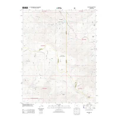
2013 Map of San Isabel
USGS Topo · Published 2013About this map
San Isabel National Forest dominates this high-altitude landscape where Custer, Pueblo, and Huerfano counties meet. The settlement of San Isabel serves as a central point for mountain access, situated near the Lake Isabel Recreation Area and the waters of Lake Isabel. This era of the forest is defined by an extensive network of footpaths and pack routes, including the St Charles Trail, Cisneros Trail, and the Snowslide Trail, which navigate the steep drainages of the Saint Charles River and Greenhorn Cr.
Find a feature on this map
52 named features on this map. Tap any name to fly to it.
Don’t see what you’re looking for? This feature index may not catch every label — zoom into the map to look around manually.
Map Details
Editions of this 2013 San Isabel Map
This is the sole edition of this map. No revisions or reprints were ever made.
Other maps of this area

1889 · Canon City
USGS Topo · 1:125,000

1889 · Huerfano Park
USGS Topo · 1:125,000

1891 · Walsenburg
USGS Topo · 1:125,000

1891 · Pueblo
USGS Topo · 1:125,000

1892 · Huerfano Park
USGS Topo · 1:125,000

1892 · Canon City
USGS Topo · 1:125,000

1894 · Walsenburg
USGS Topo · 1:125,000

1894 · Pueblo
USGS Topo · 1:125,000

1896 · Pueblo
USGS Topo · 1:125,000

1897 · Pueblo
USGS Topo · 1:125,000