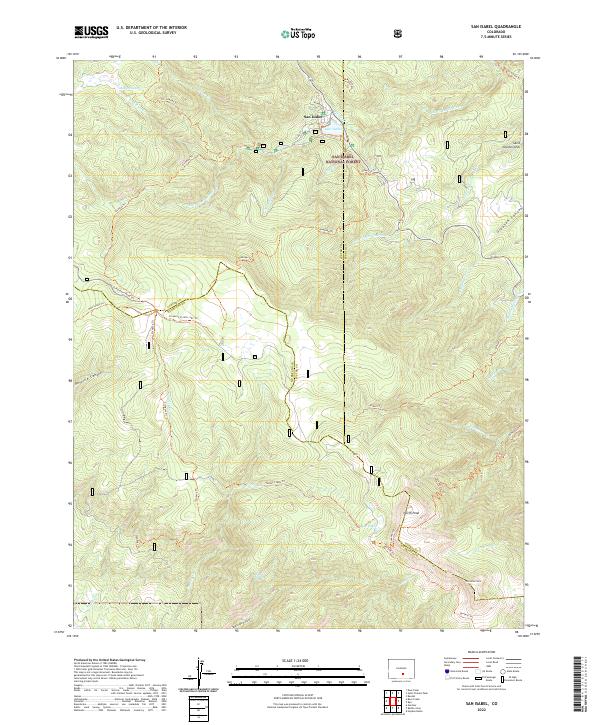
2022 Map of San Isabel
USGS Topo · Published 2022About this map
San Isabel sits at the heart of this high-elevation landscape, where the waters of Lake Isabel and the Saint Charles River draw together a dense network of backcountry routes. This recent survey captures a region defined by its complex drainage systems, including the Middle Muddy Cr and Amethyst Cr, which carve through the San Isabel National Forest. The geography here is marked by significant elevation gains, culminating in prominent landmarks like North Peak and Greenhorn Mtn.
Find a feature on this map
51 named features on this map. Tap any name to fly to it.
Don’t see what you’re looking for? This feature index may not catch every label — zoom into the map to look around manually.
Map Details
Editions of this 2022 San Isabel Map
This is the sole edition of this map. No revisions or reprints were ever made.
Other maps of this area

1889 · Canon City
USGS Topo · 1:125,000

1889 · Huerfano Park
USGS Topo · 1:125,000

1891 · Walsenburg
USGS Topo · 1:125,000

1891 · Pueblo
USGS Topo · 1:125,000

1892 · Huerfano Park
USGS Topo · 1:125,000

1892 · Canon City
USGS Topo · 1:125,000

1894 · Walsenburg
USGS Topo · 1:125,000

1894 · Pueblo
USGS Topo · 1:125,000

1896 · Pueblo
USGS Topo · 1:125,000

1897 · Pueblo
USGS Topo · 1:125,000