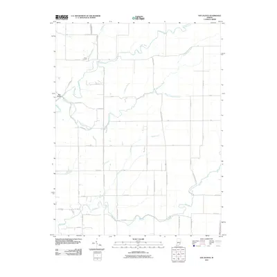
2010 Map of San Jacinto
USGS Topo · Published 2010About this map
San Jacinto serves as the primary landmark in this rural southern Indiana landscape, which is defined by a dense network of waterways feeding into the larger drainage system of Graham Creek. The land is dissected by numerous smaller tributaries including Little Graham Creek, Rush Branch, and Marble Creek, creating a varied topography that dictated the placement of local roads and farmsteads. South of the main settlement, Big Creek and Camp Creek carve through the terrain, illustrating the hydrologic complexity of the region.
Find a feature on this map
50 named features on this map. Tap any name to fly to it.
Don’t see what you’re looking for? This feature index may not catch every label — zoom into the map to look around manually.
Map Details
Editions of this 2010 San Jacinto Map
This is the sole edition of this map. No revisions or reprints were ever made.
Other maps of this area

1942 · Columbus
USGS Topo · 1:125,000

1946 · Versailles
USGS Topo · 1:24,000

1953 · Cincinnati
USGS Topo · 1:250,000

1956 · Volga
USGS Topo · 1:24,000

1956 · Clifty Falls
USGS Topo · 1:24,000

1956 · Canaan
USGS Topo · 1:24,000

1956 · Louisville
USGS Topo · 1:250,000

1957 · Cincinnati
USGS Topo · 1:250,000

1957 · Butlerville
USGS Topo · 1:24,000

1959 · Holton
USGS Topo · 1:24,000