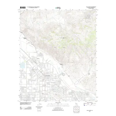
2012 Map of San Jacinto
USGS Topo · Published 2012About this map
San Jacinto sits at the foot of the San Jacinto Mountains, where the wide, sandy bed of the San Jacinto River cuts across the valley floor. This 2012 survey captures the city's residential grid as it expands south and east toward Park Hill, buffered by institutional landmarks like Mount San Jacinto College. The landscape is defined by the contrast between the dense street network and the steep, undeveloped canyons of the north, including Massacre Canyon and Juaro Canyon. Natural geothermal features are a notable historical thread here, with Gilman Hot Springs and Soboba Hot Springs situated along the mountain fringe. To the north, the North Mountain Experimental Area encompasses the high terrain, while local recreation is represented by the Golden Era Golf Course and the San Jacinto Reservoir to the west. This map provides a clear view of the modern infrastructure and the geographic constraints that shaped the town's development.
Find a feature on this map
72 named features on this map. Tap any name to fly to it.
Don’t see what you’re looking for? This feature index may not catch every label — zoom into the map to look around manually.
Map Details
Editions of this 2012 San Jacinto Map
This is the sole edition of this map. No revisions or reprints were ever made.
Other maps of this area

1901 · Southern California Sheet No. 1
USGS Topo · 1:250,000

1901 · San Jacinto
USGS Topo · 1:125,000

1901 · Elsinore
USGS Topo · 1:125,000

1904 · Southern California Sheet No. 1
USGS Topo · 1:250,000

1942 · Banning
USGS Topo · 1:62,500

1942 · Hemet
USGS Topo · 1:62,500

1942 · Murrieta
USGS Topo · 1:62,500

1942 · Perris
USGS Topo · 1:62,500

1943 · Perris
USGS Topo · 1:62,500

1943 · Hemet
USGS Topo · 1:62,500