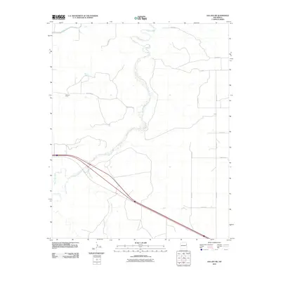
2010 Map of San Jon NW
USGS Topo · Published 2010About this map
Revuelto Creek snakes through this high plains landscape of eastern New Mexico, defining much of the local topography as it flows toward the north. The area is characterized by large agricultural and ranching holdings, notably the Troutman Ranch and the locality of Smith. A legacy of water management is evident in the presence of the Hudson Canal and the Sours Lateral, critical infrastructure for an arid environment. The map captures the transportation corridor of Rte 66 as it cuts diagonally across the southern half of the quadrangle, paralleled by drainage features such as Plaza Larga Creek and Barranca Creek. This intersection of historic roadways and essential water channels reflects the enduring patterns of ranching and transit in Quay County.
Find a feature on this map
17 named features on this map. Tap any name to fly to it.
Don’t see what you’re looking for? This feature index may not catch every label — zoom into the map to look around manually.
Map Details
Editions of this 2010 San Jon NW Map
This is the sole edition of this map. No revisions or reprints were ever made.
Other maps of this area

1930 · Tucumcari
USGS Topo · 1:125,000

1954 · Tucumcari
USGS Topo · 1:250,000

1958 · Tucumcari
USGS Topo · 1:250,000

1962 · Logan
USGS Topo · 1:62,500

1968 · Porter
USGS Topo · 1:24,000

1968 · San Jon
USGS Topo · 1:24,000

1968 · Hudson
USGS Topo · 1:24,000

1968 · San Jon NW
USGS Topo · 1:24,000

1968 · Lesbia
USGS Topo · 1:24,000

1968 · Bedford Hill
USGS Topo · 1:24,000