
1968 Map of San Jon
USGS Topo · Published 1971About this map
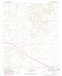
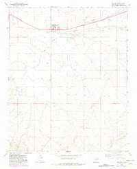
San Jon serves as the focal point of this Eastern New Mexico landscape, situated at a vital transportation junction during the late 1960s. The town’s position is defined by the Chicago Rock Island and Pacific railroad, which runs parallel to the primary highway corridor across the northern plains of Quay County. This alignment reflects the area’s historical reliance on the rail network for moving goods through the high desert.
Find a feature on this map
11 named features on this map. Tap any name to fly to it.
Don’t see what you’re looking for? This feature index may not catch every label — zoom into the map to look around manually.
Map Details
Editions of this 1968 San Jon Map
3 editions found
Other maps of this area

1954 · Tucumcari
USGS Topo · 1:250,000

1954 · Clovis
USGS Topo · 1:250,000

1958 · Clovis
USGS Topo · 1:250,000

1958 · Tucumcari
USGS Topo · 1:250,000

1968 · Porter
USGS Topo · 1:24,000

1968 · Riley Camp
USGS Topo · 1:24,000

1968 · Bard
USGS Topo · 1:24,000

1968 · San Jon NW
USGS Topo · 1:24,000

1968 · Bedford Hill
USGS Topo · 1:24,000

1971 · Day Canyon
USGS Topo · 1:24,000