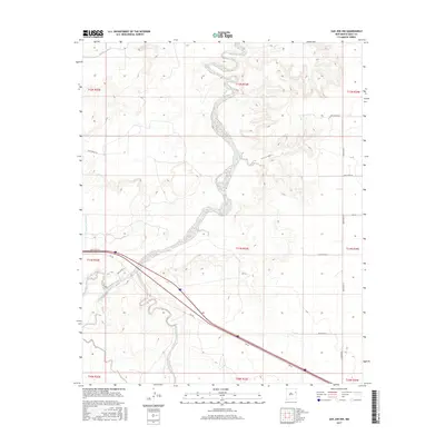
2017 Map of San Jon NW
USGS Topo · Published 2017About this map
Revuelto Creek meanders through the arid landscape of Quay County, following a highly sinuous path that defines the central topography of this eastern New Mexico survey. The arrival of modern transportation is evident where Rte 66 cuts across the southern portion of the quadrangle, representing the legacy of the historic Mother Road as it traverses the high plains. The landscape's agricultural character is revealed through irrigation infrastructure like the Hudson Canal and McCaskey Lateral, which diversion water across the township and range boundaries. A strict grid of rural roads, including Quay Road 63 and Quay Road U, provides access to this vast, open country, marking the persistent human footprint in a region defined by its watercourses and long-distance travel corridors.
Find a feature on this map
21 named features on this map. Tap any name to fly to it.
Don’t see what you’re looking for? This feature index may not catch every label — zoom into the map to look around manually.
Map Details
Editions of this 2017 San Jon NW Map
This is the sole edition of this map. No revisions or reprints were ever made.
Other maps of this area

1930 · Tucumcari
USGS Topo · 1:125,000

1954 · Tucumcari
USGS Topo · 1:250,000

1958 · Tucumcari
USGS Topo · 1:250,000

1962 · Logan
USGS Topo · 1:62,500

1968 · Porter
USGS Topo · 1:24,000

1968 · San Jon
USGS Topo · 1:24,000

1968 · Hudson
USGS Topo · 1:24,000

1968 · San Jon NW
USGS Topo · 1:24,000

1968 · Lesbia
USGS Topo · 1:24,000

1968 · Bedford Hill
USGS Topo · 1:24,000