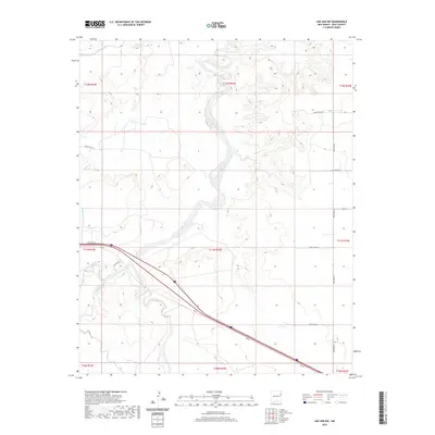
2020 Map of San Jon NW
USGS Topo · Published 2020About this map
Agricultural development in the high plains of Quay County is defined by the reach of the Hudson Canal, which serves the northern reaches of this landscape. The terrain is structured by the Public Land Survey System, showing the section lines of Township 11 and 12 North that once guided homesteaders and ranchers across this New Mexico prairie. A major transportation corridor cuts diagonally through the southern half of the map, illustrating the modern highway infrastructure that follows the historical path across the Llano Estacado. The absence of concentrated settlements emphasizes the rural, dispersed nature of the region, where land use is dictated by water access and regional transit routes.
Find a feature on this map
1 named feature on this map. Tap any name to fly to it.
Don’t see what you’re looking for? This feature index may not catch every label — zoom into the map to look around manually.
Map Details
Editions of this 2020 San Jon NW Map
This is the sole edition of this map. No revisions or reprints were ever made.
Other maps of this area

1930 · Tucumcari
USGS Topo · 1:125,000

1954 · Tucumcari
USGS Topo · 1:250,000

1958 · Tucumcari
USGS Topo · 1:250,000

1962 · Logan
USGS Topo · 1:62,500

1968 · Porter
USGS Topo · 1:24,000

1968 · San Jon
USGS Topo · 1:24,000

1968 · Hudson
USGS Topo · 1:24,000

1968 · San Jon NW
USGS Topo · 1:24,000

1968 · Lesbia
USGS Topo · 1:24,000

1968 · Bedford Hill
USGS Topo · 1:24,000