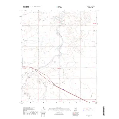
2023 Map of San Jon NW
USGS Topo · Published 2023About this map
Revuelto Creek and its winding tributaries define the topography of this high plains landscape in eastern New Mexico. The drainage system, which includes Barranca Creek and the notable Plaza Larga, illustrates the essential relationship between water and land use in this arid region. Traces of historical transportation and water management are evident throughout the quadrant, from the legendary Rte 66 cutting diagonally across the southern half to the intricate irrigation network of the Hudson Canal and McCaskey Lateral in the northwest. A strict grid of rural corridors, such as Quay Road 65 and Quay Road 63, provides a sense of the agricultural divisions and ranching reaches of Quay County. This contemporary survey preserves the path of the original Mother Road alongside modern infrastructure, recording the enduring connectivity of the Llano Estacado.
Find a feature on this map
23 named features on this map. Tap any name to fly to it.
Don’t see what you’re looking for? This feature index may not catch every label — zoom into the map to look around manually.
Map Details
Editions of this 2023 San Jon NW Map
This is the sole edition of this map. No revisions or reprints were ever made.
Other maps of this area

1930 · Tucumcari
USGS Topo · 1:125,000

1954 · Tucumcari
USGS Topo · 1:250,000

1958 · Tucumcari
USGS Topo · 1:250,000

1962 · Logan
USGS Topo · 1:62,500

1968 · Porter
USGS Topo · 1:24,000

1968 · San Jon
USGS Topo · 1:24,000

1968 · Hudson
USGS Topo · 1:24,000

1968 · San Jon NW
USGS Topo · 1:24,000

1968 · Lesbia
USGS Topo · 1:24,000

1968 · Bedford Hill
USGS Topo · 1:24,000