
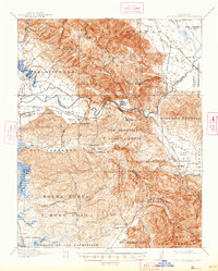
1939 Map of San Juan Bautista
USGS Topo · Published 1958About this map
Mission San Juan Bautista serves as the focal point for this landscape where the Pajaro Valley meets the Gabilan Range. The map details a complex network of Mexican-era land grants, including Manuel Larios and Bols Nueva y Moro Cojo, overlaid with the growing infrastructure of the late 1930s. The Southern Pacific railroad creates a vital corridor through Pajaro Gap, connecting the agricultural hub of Watsonville with points east. Of particular interest to genealogists is the inclusion of family-named landmarks like Patrick Breen and local institutions such as the St Francis Orphan Asylum. The terrain transitions from the marshy Moro Cojo Slough near Castroville to the industrial activity at the Sargent Oil Field, illustrating a region defined by both its colonial pastoral roots and modern extraction and transit.
Find a feature on this map
74 named features on this map. Tap any name to fly to it.
Don’t see what you’re looking for? This feature index may not catch every label — zoom into the map to look around manually.
Map Details
Editions of this 1939 San Juan Bautista Map
This is the sole edition of this map. No revisions or reprints were ever made.
Historical Maps of Pajaro Hills Through Time
7 maps found

1915 San Juan Bautista
San Benito County, CA
1917 San Juan Bautista
San Benito County, CA
1939 San Juan Bautista
San Benito County, CA

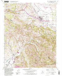
1940 San Juan Bautista
San Benito County, CA
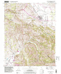
1955 San Juan Bautista
San Benito County, CA
1997 San Juan Bautista
San Benito County, CA
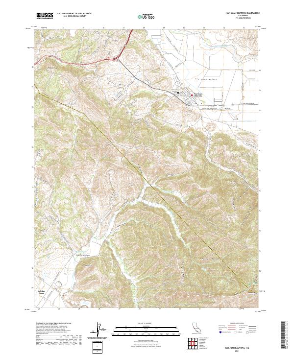
2021 San Juan Bautista
San Benito County, CA