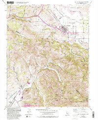
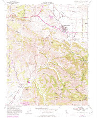
1955 Map of San Juan Bautista
USGS Topo · Published 1994About this map
Mission San Juan Bautista serves as the focal point of this region, surrounded by Hist Monuments and the San Juan Cem at the foot of the Gabilan Range. The landscape is defined by the sharp geology of the San Andreas Rift Zone, which cuts northwest through the terrain, separating the northern valley floor from the rising peaks of the Cienega Del Gabilan. To the south, Fremont Peak and Rocky Ridge dominate the skyline above the Monterey County line, while Gabilan Acres marks a smaller pocket of development near Gabilan Creek. Local infrastructure is visible in the network of rural roads like Cole Road and Prescott Road, and the presence of several quarries and tailings piles indicate the area's mineral industry. Education and community life are represented by the Lagunita Sch near Lagunita Lake, situated along the western edge of the quadrangle.
Find a feature on this map
47 named features on this map. Tap any name to fly to it.
Don’t see what you’re looking for? This feature index may not catch every label — zoom into the map to look around manually.
Map Details
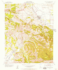
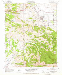
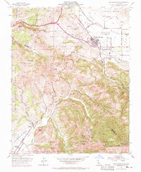
Editions of this 1955 San Juan Bautista Map
5 editions found
Other maps of this area

1910 · Salinas
USGS Topo · 1:31,680

1912 · Salinas
USGS Topo · 1:62,500

1915 · San Juan Bautista
USGS Topo · 1:48,000

1917 · San Juan Bautista
USGS Topo · 1:62,500

1919 · Hollister
USGS Topo · 1:48,000

1921 · Gonzales
USGS Topo · 1:62,500

1921 · Hollister
USGS Topo · 1:62,500

1923 · Hollister
USGS Topo · 1:62,500

1939 · San Juan Bautista
USGS Topo · 1:62,500

1940 · San Juan Bautista
USGS Topo · 1:62,500