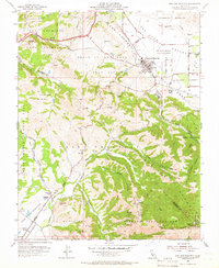
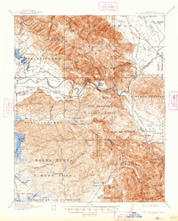
1955 Map of San Juan Bautista
USGS Topo · Published 1966About this map
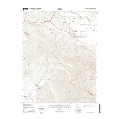
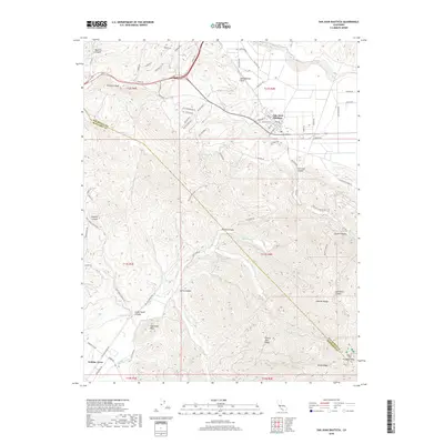
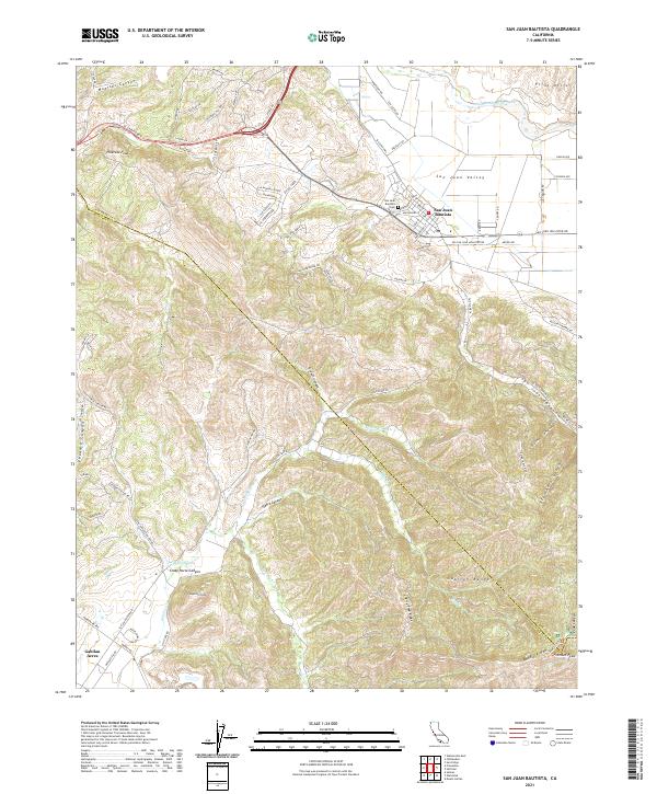
San Juan Bautista serves as the focal point of this mid-century survey, where the historic Mission San Juan Bautista and Hist Monuments anchor the northern edge of the Gabilan Range. The map illustrates a landscape of Spanish land grant legacies, including Tract of Land near San Juan Bautista (Breen) and Los Carneros (McDougal), alongside the industrial presence of the Cement Plant. Evidence of the region’s seismic character is etched into the terrain by the San Andreas Rift Zone slicing through the valley south of the San Benito River.
Find a feature on this map
54 named features on this map. Tap any name to fly to it.
Don’t see what you’re looking for? This feature index may not catch every label — zoom into the map to look around manually.
Map Details
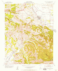
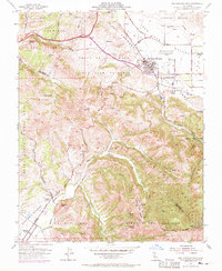
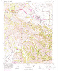
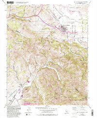
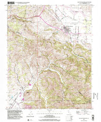
Editions of this 1955 San Juan Bautista Map
5 editions found
Historical Maps of Prunedale Through Time
10 maps found

1915 San Juan Bautista
San Benito County, CA
1917 San Juan Bautista
San Benito County, CA

1939 San Juan Bautista
San Benito County, CA

1940 San Juan Bautista
San Benito County, CA
1955 San Juan Bautista
San Benito County, CA
1997 San Juan Bautista
San Benito County, CA
2012 San Juan Bautista
San Benito County, CA
2015 San Juan Bautista
San Benito County, CA
2018 San Juan Bautista
San Benito County, CA
2021 San Juan Bautista
San Benito County, CA