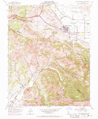
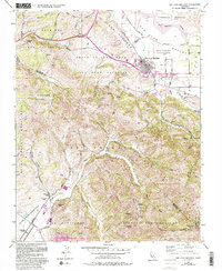
1955 Map of San Juan Bautista
USGS Topo · Published 1970About this map
San Juan Bautista sits at the foot of the Gabilan Range, where the historic Mission San Juan Bautista and adjacent Hist Monuments anchor a landscape defined by significant tectonic and agricultural activity. The town is situated directly adjacent to the San Andreas Fault Zone, which trends northwest-southeast across the foothills. The terrain transitions from the alluvial floor of the San Benito River valley into the steep, complex ridges of the Cienega del Gabilan and the Lomerias Muertas.
Find a feature on this map
62 named features on this map. Tap any name to fly to it.
Don’t see what you’re looking for? This feature index may not catch every label — zoom into the map to look around manually.
Map Details
Editions of this 1955 San Juan Bautista Map
5 editions found
Other maps of this area

1910 · Salinas
USGS Topo · 1:31,680

1912 · Salinas
USGS Topo · 1:62,500

1915 · San Juan Bautista
USGS Topo · 1:48,000

1917 · San Juan Bautista
USGS Topo · 1:62,500

1919 · Hollister
USGS Topo · 1:48,000

1921 · Gonzales
USGS Topo · 1:62,500

1921 · Hollister
USGS Topo · 1:62,500

1923 · Hollister
USGS Topo · 1:62,500

1939 · San Juan Bautista
USGS Topo · 1:62,500

1940 · San Juan Bautista
USGS Topo · 1:62,500