
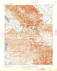
1939 Map of San Juan Bautista
USGS Topo · Published 1958This historical map portrays the area of San Juan Bautista in 1939, primarily covering San Benito County as well as portions of Santa Clara County, Monterey County, and Santa Cruz County. Featuring a scale of 1:62500, this map provides a highly detailed snapshot of the terrain, roads, buildings, counties, and historical landmarks in the San Juan Bautista region at the time. Published in 1958, it is the sole known edition of this map.
Find a feature on this map
74 named features on this map. Tap any name to fly to it.
Don’t see what you’re looking for? This feature index may not catch every label — zoom into the map to look around manually.
Map Details
Editions of this 1939 San Juan Bautista Map
This is the sole edition of this map. No revisions or reprints were ever made.
Historical Maps of Rollin J. Vierra Tract Through Time
7 maps found

1915 San Juan Bautista
San Benito County, CA
1917 San Juan Bautista
San Benito County, CA
1939 San Juan Bautista
San Benito County, CA

1940 San Juan Bautista
San Benito County, CA
1955 San Juan Bautista
San Benito County, CA
1997 San Juan Bautista
San Benito County, CA
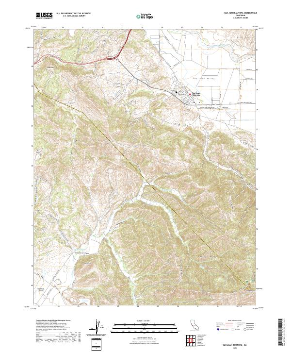
2021 San Juan Bautista
San Benito County, CA