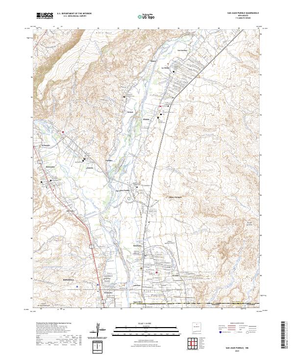
2023 Map of San Juan Pueblo
USGS Topo · Published 2023About this map
Rio Grande and Rio Chama converge in this northern New Mexico landscape, shaping a corridor of ancient settlements and modern infrastructure. The map documents the cultural geography of San Juan Pueblo, also known as Ohkay Owingeh, alongside numerous nearby communities including Alcalde, Hernandez, and Chamita. The persistence of traditional land management is evident in the intricate network of irrigation channels like the Alcalde La Villita Ditch and the Hernandez Ditch, which draw from the primary river systems to support the valley's agricultural heritage.
Find a feature on this map
177 named features on this map. Tap any name to fly to it.
Don’t see what you’re looking for? This feature index may not catch every label — zoom into the map to look around manually.
Map Details
Editions of this 2023 San Juan Pueblo Map
This is the sole edition of this map. No revisions or reprints were ever made.
Other maps of this area

1889 · Santa Fe
USGS Topo · 1:125,000

1892 · Santa Clara
USGS Topo · 1:125,000

1894 · Santa Fe
USGS Topo · 1:125,000

1918 · Abiquiu
USGS Topo · 1:125,000

1952 · Puye
USGS Topo · 1:24,000

1953 · Espanola
USGS Topo · 1:24,000

1953 · Chili
USGS Topo · 1:24,000

1953 · Medanales
USGS Topo · 1:24,000

1953 · San Juan Pueblo
USGS Topo · 1:24,000

1953 · Lyden
USGS Topo · 1:24,000