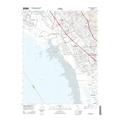
2015 Map of San Leandro
USGS Topo · Published 2015About this map
San Francisco Bay defines the western edge of this 2015 urban landscape, where the marshy transition at Mulford Point Faro Point meets the densely developed East Bay corridor. The map shows the industrial and residential evolution of Oakland and San Leandro, characterized by massive transport infrastructure like the Metropolitan Oakland International Airport and the heavy rail lines of the Bart system.
Find a feature on this map
292 named features on this map. Tap any name to fly to it.
Don’t see what you’re looking for? This feature index may not catch every label — zoom into the map to look around manually.
Map Details
Editions of this 2015 San Leandro Map
This is the sole edition of this map. No revisions or reprints were ever made.
Other maps of this area

1892 · San Mateo
USGS Topo · 1:62,500

1895 · San Francisco
USGS Topo · 1:62,500

1896 · San Mateo
USGS Topo · 1:62,500

1897 · Concord
USGS Topo · 1:62,500

1899 · San Francisco
USGS Topo · 1:62,500

1899 · Haywards
USGS Topo · 1:62,500

1899 · San Mateo
USGS Topo · 1:62,500

1915 · San Mateo
USGS Topo · 1:62,500

1915 · Haywards
USGS Topo · 1:62,500

1915 · Concord
USGS Topo · 1:62,500