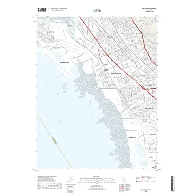
2018 Map of San Leandro
USGS Topo · Published 2018About this map
The Metropolitan Oakland International Airport and its complex network of taxiways like Airport Rd and Neil Armstrong Way dominate the western shoreline of this East Bay corridor. Moving inland, the urban density of San Leandro and San Lorenzo is punctuated by significant institutional landmarks, including the School of Urban Missions Bible College and Theological Seminary and Carrington College.
Find a feature on this map
320 named features on this map. Tap any name to fly to it.
Don’t see what you’re looking for? This feature index may not catch every label — zoom into the map to look around manually.
Map Details
Editions of this 2018 San Leandro Map
This is the sole edition of this map. No revisions or reprints were ever made.
Other maps of this area

1892 · San Mateo
USGS Topo · 1:62,500

1895 · San Francisco
USGS Topo · 1:62,500

1896 · San Mateo
USGS Topo · 1:62,500

1897 · Concord
USGS Topo · 1:62,500

1899 · San Francisco
USGS Topo · 1:62,500

1899 · Haywards
USGS Topo · 1:62,500

1899 · San Mateo
USGS Topo · 1:62,500

1915 · San Mateo
USGS Topo · 1:62,500

1915 · Haywards
USGS Topo · 1:62,500

1915 · Concord
USGS Topo · 1:62,500