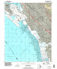
2021 Map of San Leandro
USGS Topo · Published 2021About this map
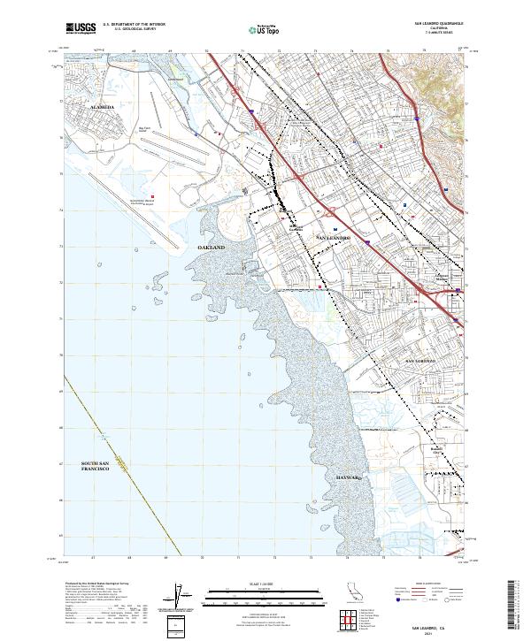
Metropolitan Oakland International Airport dominates the northwestern shoreline, where it borders San Francisco Bay and the specialized ecosystems of Arrowhead Marsh. The landscape is a dense urban network where the industrial and residential corridors of San Leandro and San Lorenzo meet the tidal flats and marshes of the East Bay. This modern survey illustrates the complex intersection of logistics and nature, featuring the extensive runways of the airport alongside preserved wetland areas like Ora Loma Marsh and Cogswell Marsh. Further inland, the map details established neighborhoods and local landmarks including the San Lorenzo Cem and Lorenzo Station. The drainage systems of San Leandro Creek and Sulphur Creek weave through the developed blocks of Hayward and Mulford Gardens, tracing the path of water from the hills toward the bay.
Find a feature on this map
312 named features on this map. Tap any name to fly to it.
Don’t see what you’re looking for? This feature index may not catch every label — zoom into the map to look around manually.
Map Details
Editions of this 2021 San Leandro Map
This is the sole edition of this map. No revisions or reprints were ever made.
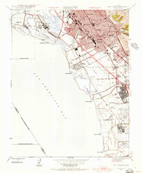
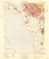
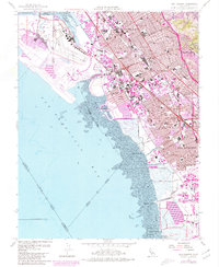
Historical Maps of Bay Farm Island Through Time
5 maps found