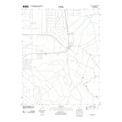
2011 Map of San Luis
USGS Topo · Published 2011About this map
San Luis stands as the primary hub of this landscape, situated where the high desert meets the irrigated valleys of the Sangre de Cristo foothills. The map reveals an intricate network of historic acequias and water management systems, including the San Luis Peoples Ditch, the Cerritos Canal, and the Eastdale Culebra Canal. These watercourses support a string of traditional settlements along the eastern edge of the quadrangle, where San Pablo, Chama, and Los Fuertes follow the path of Culebra Creek and its tributaries. To the west, the flat expanse of San Pedro Mesa rises above the valley floor, creating a sharp geological contrast to the riparian corridors.
Find a feature on this map
59 named features on this map. Tap any name to fly to it.
Don’t see what you’re looking for? This feature index may not catch every label — zoom into the map to look around manually.
Map Details
Editions of this 2011 San Luis Map
This is the sole edition of this map. No revisions or reprints were ever made.
Other maps of this area

1954 · Trinidad
USGS Topo · 1:250,000

1955 · Trinidad
USGS Topo · 1:250,000

1958 · Trinidad
USGS Topo · 1:250,000

1959 · Trinidad
USGS Topo · 1:250,000

1965 · Blanca SE
USGS Topo · 1:24,000

1967 · San Luis
USGS Topo · 1:24,000

1967 · La Valley
USGS Topo · 1:24,000

1967 · Fort Garland SW
USGS Topo · 1:24,000

1967 · Ojito Peak
USGS Topo · 1:24,000

1967 · Taylor Ranch
USGS Topo · 1:24,000