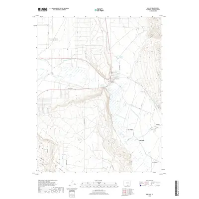
2019 Map of San Luis
USGS Topo · Published 2019About this map
San Luis, established as Colorado's oldest continuously inhabited town, serves as the central hub of this high-altitude landscape. The settlement pattern is defined by traditional water management systems, including the historic San Luis-Peoples-Ditch and the Cerritos Canal, which support agriculture along the Culebra Creek valley. These ditches and canals are vital artifacts of the community's communal land-use heritage, winding through the valley floors between the prominent San Pedro Mesa and the nearby Sangre de Cristo foothills. To the east, the smaller villages of San Pedro, San Pablo, and Chama follow the paths of Rito Seco and Ventero Cr. The map details important local landmarks such as the Costilla County Courthouse and the San Pedro Cem, while modern infrastructure like the San Luis Airport and numerous county roads connects these historic agricultural settlements.
Find a feature on this map
58 named features on this map. Tap any name to fly to it.
Don’t see what you’re looking for? This feature index may not catch every label — zoom into the map to look around manually.
Map Details
Editions of this 2019 San Luis Map
This is the sole edition of this map. No revisions or reprints were ever made.
Other maps of this area

1954 · Trinidad
USGS Topo · 1:250,000

1955 · Trinidad
USGS Topo · 1:250,000

1958 · Trinidad
USGS Topo · 1:250,000

1959 · Trinidad
USGS Topo · 1:250,000

1965 · Blanca SE
USGS Topo · 1:24,000

1967 · San Luis
USGS Topo · 1:24,000

1967 · La Valley
USGS Topo · 1:24,000

1967 · Fort Garland SW
USGS Topo · 1:24,000

1967 · Ojito Peak
USGS Topo · 1:24,000

1967 · Taylor Ranch
USGS Topo · 1:24,000