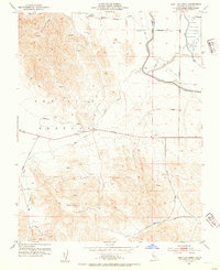
1953 Map of San Luis Creek
USGS Topo · Published 1954About this map
San Luis Gonzaga terrain defines this California landscape, where the rising hills meet the agricultural infrastructure of the mid-twentieth century. The 1950s water network is prominently featured, including the industrial scale of the Delta-Mendota Canal and the Outside Canal, complete with a Pumping Station and Siphon. Established ranching operations like Romero Ranch and San Luis Ranch are positioned along the drainage of Romero Creek and San Luis Creek. Transportation through the foothills is anchored by Pacheco Pass Road, while secondary routes like Mc Cabe Road and Jasper Sears Road provide access to the various springs and reservoirs scattered across the higher elevations. The area around Basalt Hill and its Lookout suggests a landscape managed for both cattle and early water conveyance before the large-scale changes of later decades.
Find a feature on this map
28 named features on this map. Tap any name to fly to it.
Don’t see what you’re looking for? This feature index may not catch every label — zoom into the map to look around manually.
Map Details
Editions of this 1953 San Luis Creek Map
2 editions found
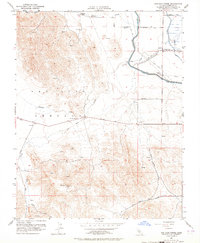
Other maps of this area

1913 · Panoche
USGS Topo · 1:125,000

1919 · Ingomar
USGS Topo · 1:31,680

1920 · Pacheco Pass
USGS Topo · 1:62,500

1920 · Carrisalito Spring
USGS Topo · 1:31,680

1921 · Volta
USGS Topo · 1:31,680

1922 · Quien Sabe
USGS Topo · 1:62,500

1922 · San Luis Creek
USGS Topo · 1:31,680

1922 · Ortigalita
USGS Topo · 1:31,680

1922 · Howard Ranch
USGS Topo · 1:31,680

1940 · Pacheco Pass
USGS Topo · 1:62,500