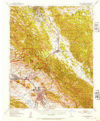
1952 Map of San Luis Obispo
USGS Topo · Published 1954About this map
San Luis Obispo sits at the heart of this mid-century landscape, framed by the volcanic peaks of Bishop Pk and Cerro San Luis Obispo. The map details the academic and military foundations of the region, showing the sprawling California State Polytechnic College and the extensive Camp San Luis Obispo Military Reservation. To the north, the Southern Pacific railroad threads through the Santa Lucia Range, crossing Cuesta Pass near the historic Santa Margarita ranch lands.
Find a feature on this map
75 named features on this map. Tap any name to fly to it.
Don’t see what you’re looking for? This feature index may not catch every label — zoom into the map to look around manually.
Map Details
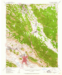
Editions of this 1952 San Luis Obispo Map
2 editions found
Other maps of this area

1897 · Port Harford
USGS Topo · 1:62,500

1897 · San Luis Obispo
USGS Topo · 1:62,500

1897 · Cayucos
USGS Topo · 1:62,500

1897 · Arroyo Grande
USGS Topo · 1:62,500

1900 · San Luis
USGS Topo · 1:125,000

1914 · Cholame
USGS Topo · 1:125,000

1915 · Cholame
USGS Topo · 1:125,000

1917 · Cholame
USGS Topo · 1:125,000

1919 · Paso Robles
USGS Topo · 1:62,500

1919 · Adelaida
USGS Topo · 1:62,500