
2010 Map of San Martine
USGS Topo · Published 2010About this map
San Martine serves as the focal point for this West Texas landscape, where the arid environment is defined by an intricate network of windmills and water tanks essential for ranching life. The terrain is dominated by the prominent San Martine Peak and the sprawling San Martine Draw, which carries runoff alongside other seasonal drainages like Adobe Draw and Ninemile Draw. Ranching infrastructure is exceptionally dense here, with curiously named features such as Ice Cream Tank, Dead Cow Tank, and Gun Barrel Windmill dotting the map.
Find a feature on this map
29 named features on this map. Tap any name to fly to it.
Don’t see what you’re looking for? This feature index may not catch every label — zoom into the map to look around manually.
Map Details
Editions of this 2010 San Martine Map
This is the sole edition of this map. No revisions or reprints were ever made.
Other maps of this area

1921 · Toyah
USGS Topo · 1:125,000

1928 · Kent
USGS Topo · 1:125,000

1954 · Van Horn
USGS Topo · 1:250,000

1954 · Pecos
USGS Topo · 1:250,000

1957 · Pecos
USGS Topo · 1:250,000

1958 · Van Horn
USGS Topo · 1:250,000
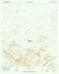
1970 · San Martine
USGS Topo · 1:24,000
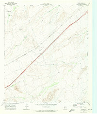
1970 · Gozar
USGS Topo · 1:24,000
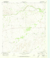
1970 · Toyah SW
USGS Topo · 1:24,000
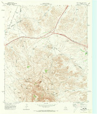
1970 · Gomez Peak
USGS Topo · 1:24,000