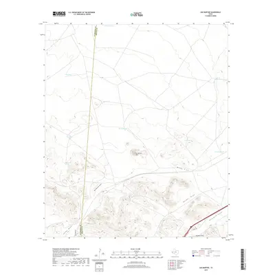
2019 Map of San Martine
USGS Topo · Published 2019About this map
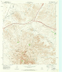
San Martine Peak rises as a central landmark in this high-plains landscape where the Culberson Co and Reeves Co border runs along a north-south meridian. The terrain is defined by a series of drainage systems, including San Martine Draw, Adobe Draw, and Ninemile Draw, which reveal the natural water-flow patterns of this arid region. The proliferation of man-made water features, such as Dead Cow Tank, Ice Cream Tank, and Oil Well Tank, points to the long-standing cattle ranching and industrial activities necessary for survival and commerce in West Texas.
Find a feature on this map
19 named features on this map. Tap any name to fly to it.
Don’t see what you’re looking for? This feature index may not catch every label — zoom into the map to look around manually.
Map Details
Editions of this 2019 San Martine Map
This is the sole edition of this map. No revisions or reprints were ever made.
Other maps of this area

1921 · Toyah
USGS Topo · 1:125,000

1928 · Kent
USGS Topo · 1:125,000

1954 · Van Horn
USGS Topo · 1:250,000

1954 · Pecos
USGS Topo · 1:250,000

1957 · Pecos
USGS Topo · 1:250,000

1958 · Van Horn
USGS Topo · 1:250,000
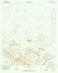
1970 · San Martine
USGS Topo · 1:24,000
1970 · Gozar
USGS Topo · 1:24,000
1970 · Toyah SW
USGS Topo · 1:24,000
1970 · Gomez Peak
USGS Topo · 1:24,000