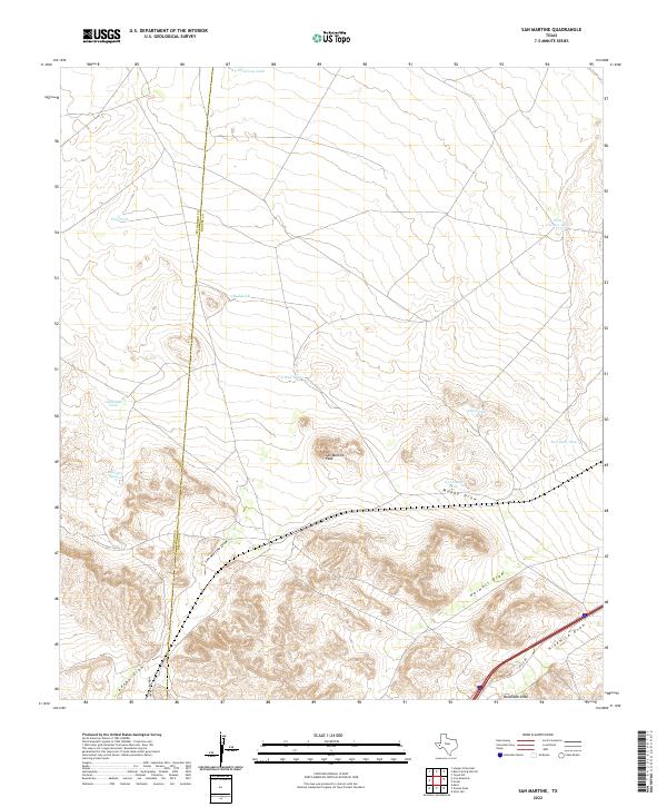
2022 Map of San Martine
USGS Topo · Published 2022About this map
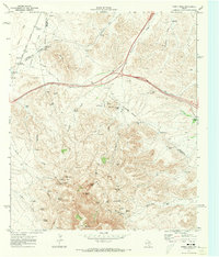
San Martine Peak stands as the central landmark of this West Texas landscape, where the high desert terrain is defined by a complex network of ephemeral watercourses. These desert washes, including San Martine Draw, Moody Draw, and Harwell Draw, shape the local topography and historical drainage patterns of the region. The map highlights the essential role of water management in this arid environment through numerous named catchment basins such as Ice Cream Tank, Oil Well Tank, and Dead Cow Tank. The presence of the I-20 SVC RD and Bankhead Draw in the southern portion of the quadrangle shows the intersection of modern transportation infrastructure with traditional land names. This survey captures the transition between the Culberson and Reeves County line, illustrating a sparsely populated territory where ranching and resource extraction labels dominate the human footprint.
Find a feature on this map
20 named features on this map. Tap any name to fly to it.
Don’t see what you’re looking for? This feature index may not catch every label — zoom into the map to look around manually.
Map Details
Editions of this 2022 San Martine Map
This is the sole edition of this map. No revisions or reprints were ever made.
Other maps of this area

1921 · Toyah
USGS Topo · 1:125,000

1928 · Kent
USGS Topo · 1:125,000

1954 · Van Horn
USGS Topo · 1:250,000

1954 · Pecos
USGS Topo · 1:250,000

1957 · Pecos
USGS Topo · 1:250,000

1958 · Van Horn
USGS Topo · 1:250,000
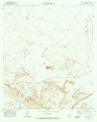
1970 · San Martine
USGS Topo · 1:24,000
1970 · Gozar
USGS Topo · 1:24,000
1970 · Toyah SW
USGS Topo · 1:24,000
1970 · Gomez Peak
USGS Topo · 1:24,000