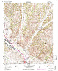
1948 Map of San Miguel
USGS Topo · Published 1979About this map
Camp Roberts Military Reservation dominates the western portion of this landscape, established on the boundary between Monterey and San Luis Obispo Counties during the mid-20th century. The Southern Pacific railroad follows the course of the Salinas River, connecting the town of San Miguel with neighboring McKay and Nacimiento. The town structure reveals a dense grid of streets and buildings concentrated along the rail line, indicating its role as a regional transport hub.
Find a feature on this map
21 named features on this map. Tap any name to fly to it.
Don’t see what you’re looking for? This feature index may not catch every label — zoom into the map to look around manually.
Map Details
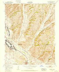
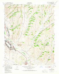
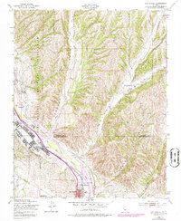
Editions of this 1948 San Miguel Map
4 editions found
Other maps of this area

1919 · San Miguel
USGS Topo · 1:62,500

1919 · Paso Robles
USGS Topo · 1:62,500

1919 · Bradley
USGS Topo · 1:62,500

1919 · Adelaida
USGS Topo · 1:62,500

1932 · Adelaida
USGS Topo · 1:62,500

1941 · Bradley
USGS Topo · 1:62,500

1942 · Adelaida
USGS Topo · 1:62,500

1943 · Paso Robles
USGS Topo · 1:62,500

1947 · San Luis Obispo
USGS Topo · 1:250,000

1947 · San Miguel
USGS Topo · 1:62,500